Castle Harbour

Gallery (2)
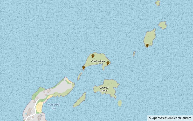
Map

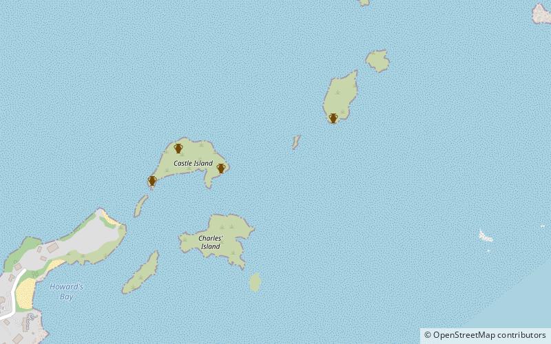
Map
Gallery
Facts and practical information
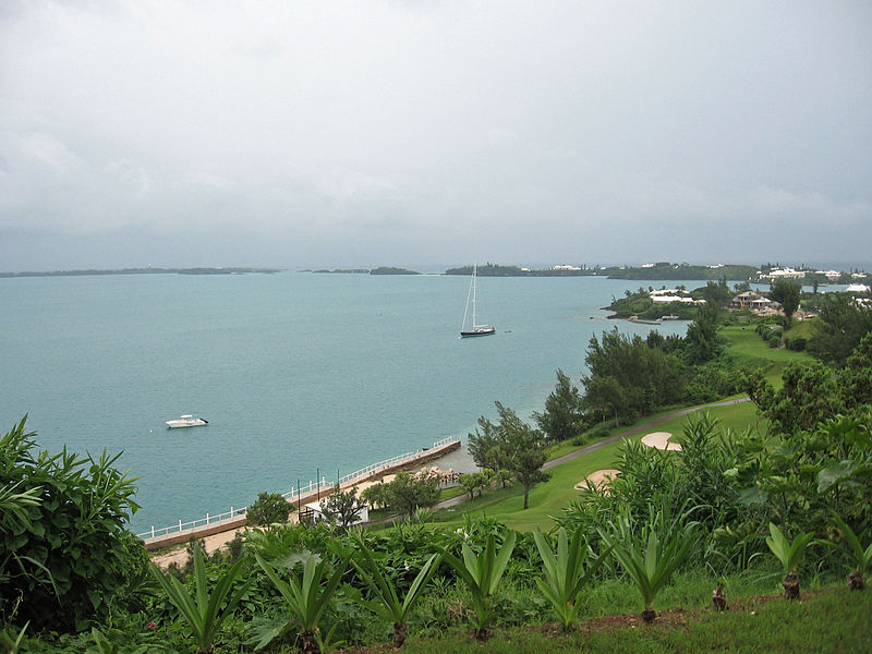
Castle Harbour is a large natural harbour in Bermuda. It is located between the northeastern end of the main island and St. David's Island. Originally called Southampton Port, it was renamed as a result of its heavy fortification in the early decades of the Seventeenth century. ()
Coordinates: 32°20'50"N, 64°41'14"W
Location
Saint George's
ContactAdd
Social media
Add
Day trips