St. George's Harbour, Saint George
Map
Map

Facts and practical information
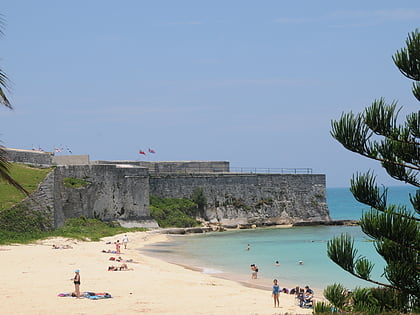
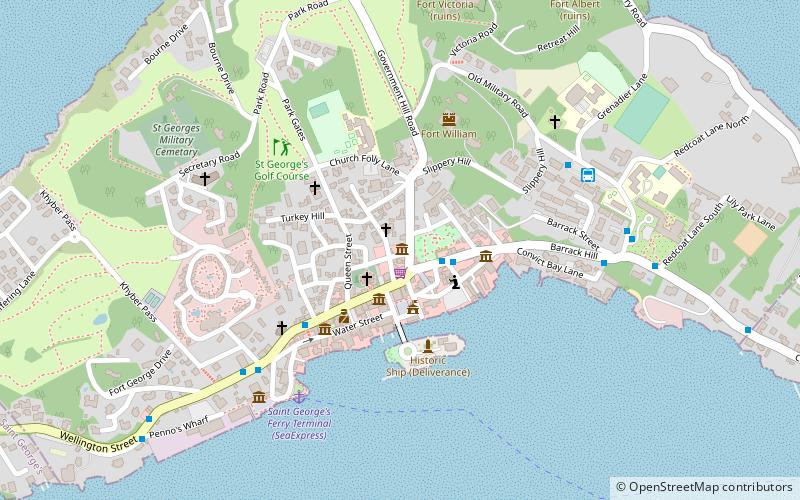
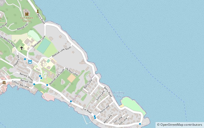
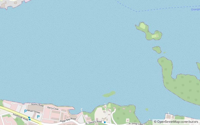
St. George's Harbour is a natural harbour in the north of Bermuda. It serves as the port for the town of St. George's, located on St. George's Island, to its north. To its south is St. David's Island. The harbour and both islands lie within St. George's Parish. It was for two centuries the primary harbour of the British Overseas Territory. ()
Coordinates: 32°22'26"N, 64°40'32"W
Address
Saint George
ContactAdd
Social media
Add
Day trips
St. George's Harbour – popular in the area (distance from the attraction)
Nearby attractions include: Fort St. Catherine, St. Peter's Church, Featherbed Alley Printshop, St. George's Island.
Frequently Asked Questions (FAQ)
Which popular attractions are close to St. George's Harbour?
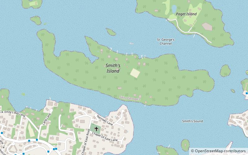
Nearby attractions include Historic Town of St George and Related Fortifications, Saint George (11 min walk), St. Peter's Church, Saint George (14 min walk), Featherbed Alley Printshop, Saint George (15 min walk), Smith's Island, Saint George (17 min walk).

