Gangtey Monastery

Gallery (1)
Map
Map
Facts and practical information
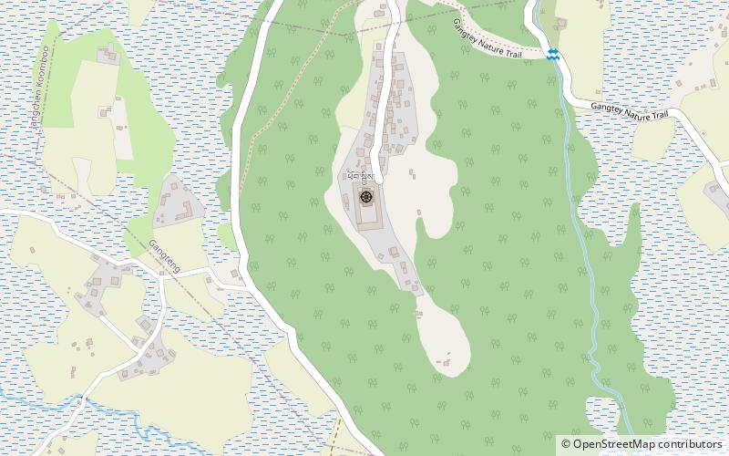
Gangtey Monastery is a place located in Bhutan and belongs to the category of sacred and religious sites, temple.
It is situated at an altitude of 9964 feet, and its geographical coordinates are 27°29'3"N latitude and 90°9'54"E longitude.
Among other places and attractions worth visiting in the area are: Phobjikha Valley (nature, 28 min walk).
Coordinates: 27°29'3"N, 90°9'54"E
Location
Wangduephodrang
ContactAdd
Social media
Add
Day trips
Gangtey Monastery – popular in the area (distance from the attraction)
Nearby attractions include: Phobjikha Valley.
