Tarina Tsho

Map
Facts and practical information
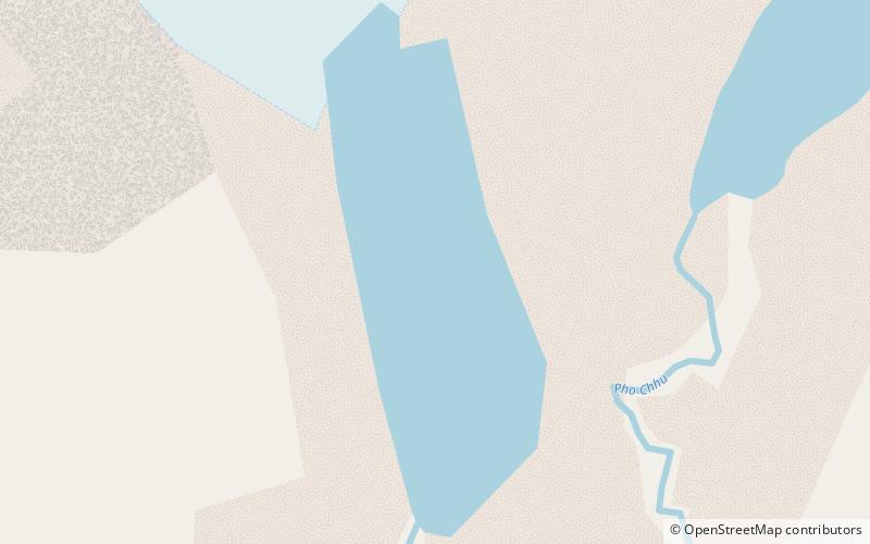
Tarina Tsho is one of the lakes of Bhutan that is a major contributor to GLOF danger in the country. It was the source of 1983 GLOF that destroyed part of Punakha Dzong. ()
Elevation: 14016 ft a.s.l.Coordinates: 28°6'22"N, 89°53'55"E
Location
Gasa
ContactAdd
Social media
Add
Day trips
Tarina Tsho – popular in the area (distance from the attraction)
Nearby attractions include: Tongshanjiabu, Mount Jitchu Drake.

