Imilla Apachita, Huayna Potosí
Map
Facts and practical information
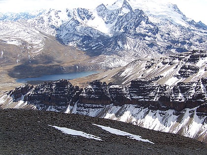
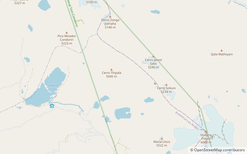
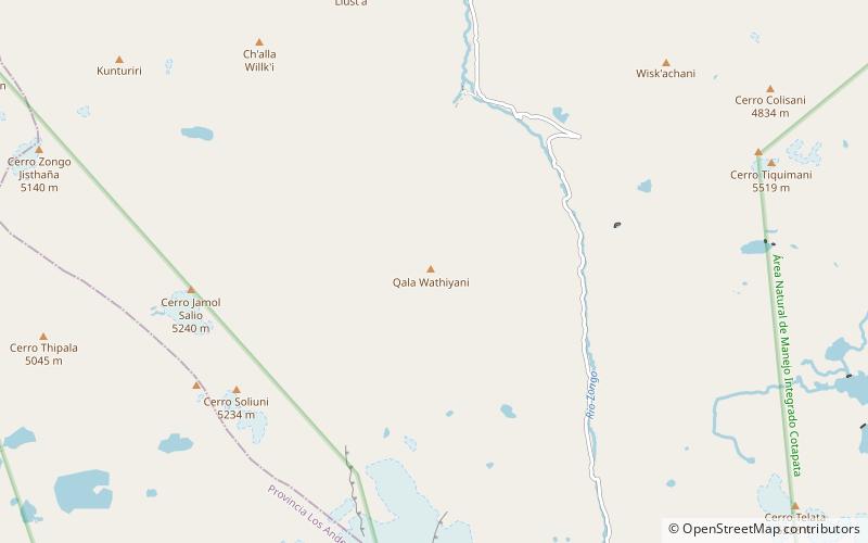
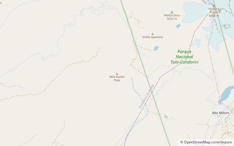
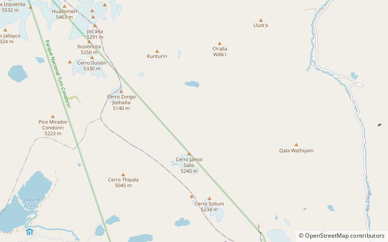
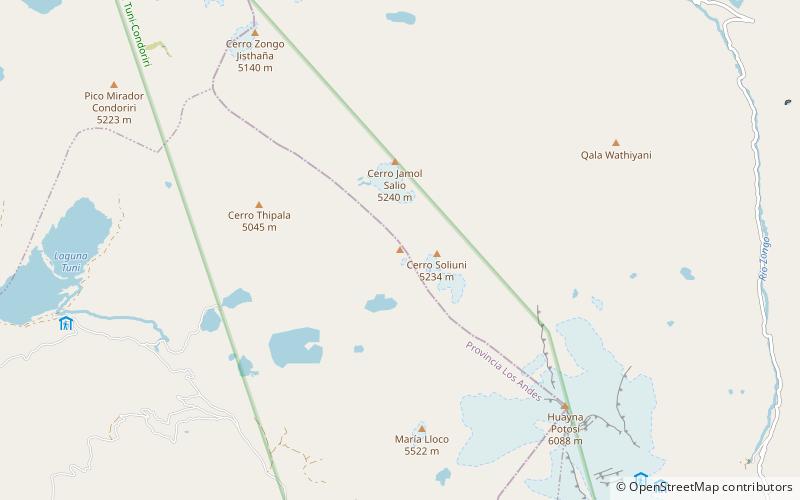
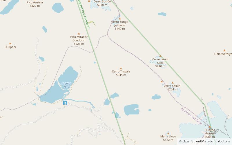
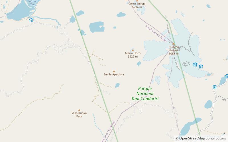
Imilla Apachita is a 5,184-metre-high mountain in the Cordillera Real in the Bolivian Andes. It is situated in the La Paz Department, Los Andes Province, Pucarani Municipality. Imilla Apachita lies between the mountains Huayna Potosí in the northeast and Wila Kunka Pata in the southwest. ()
Elevation: 17008 ftCoordinates: 16°16'42"S, 68°11'24"W
Address
Huayna Potosí
ContactAdd
Social media
Add
Day trips
Imilla Apachita – popular in the area (distance from the attraction)
Nearby attractions include: Ch'iyar Qirini, Milluni Lake, Janq'u Quta, Maman Quta.
