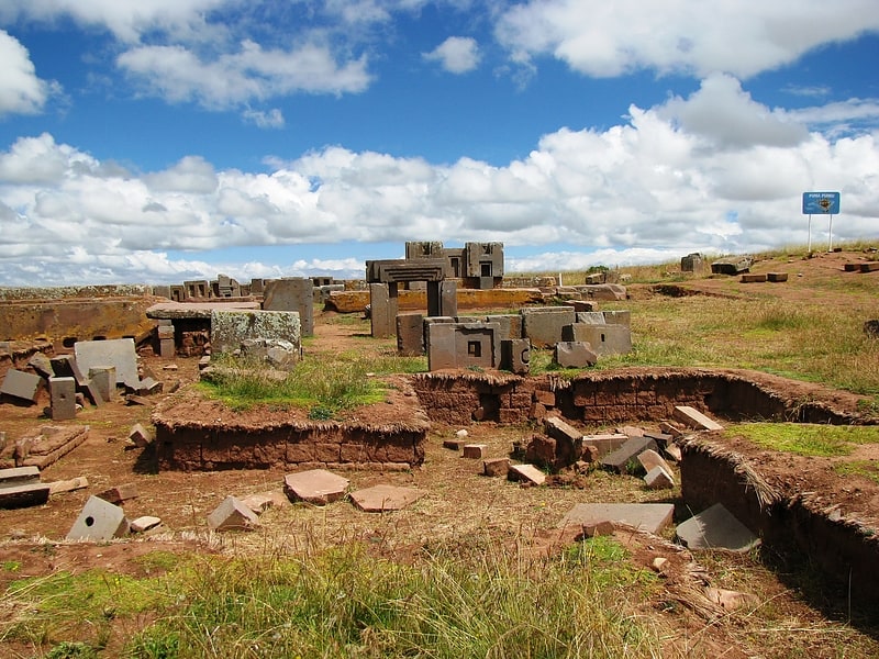
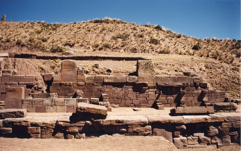
H Blocks, Tiwanaku
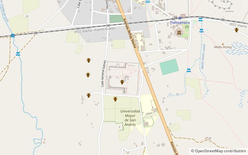
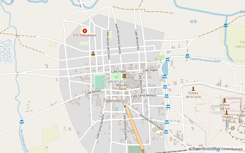
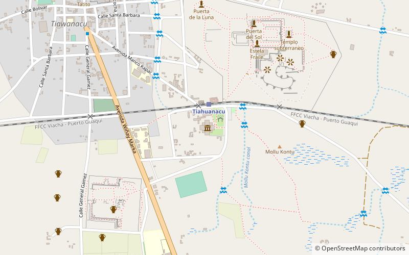
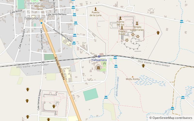
Map
Facts and practical information
H Blocks is a place located in Tiwanaku (La Paz department) and belongs to the category of ruins.
It is situated at an altitude of 12680 feet, and its geographical coordinates are 16°33'42"S latitude and 68°40'47"W longitude.
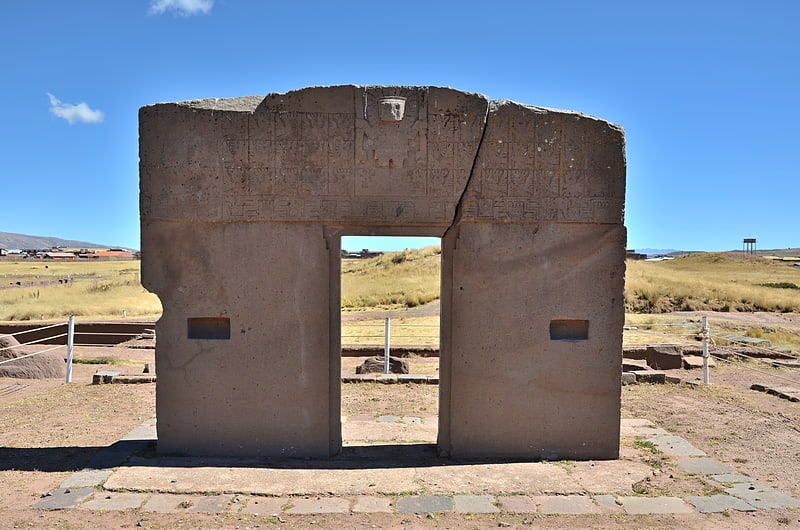
Among other places and attractions worth visiting in the area are: Pumapunku (archaeological site, 1 min walk), Museo Lítico (museum, 9 min walk), Museo Cerámico (museum, 9 min walk).
Coordinates: 16°33'42"S, 68°40'47"W
Address
Tiwanaku
ContactAdd
Social media
Add
Day trips
H Blocks – popular in the area (distance from the attraction)
Nearby attractions include: Pumapunku, Kalasasaya, Gate of the Sun, Parroquial.

Frequently Asked Questions (FAQ)
Which popular attractions are close to H Blocks?
Nearby attractions include Pumapunku, Tiwanaku (1 min walk), Museo Lítico, Tiwanaku (9 min walk), Museo Cerámico, Tiwanaku (9 min walk), Akapana, Tiwanaku (16 min walk).