Q'umir Pata, Madidi National Park
Map
Facts and practical information
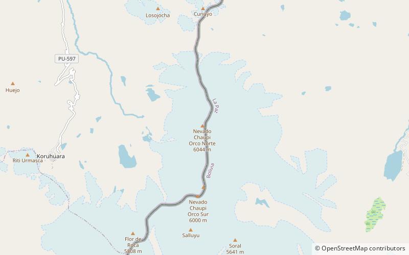
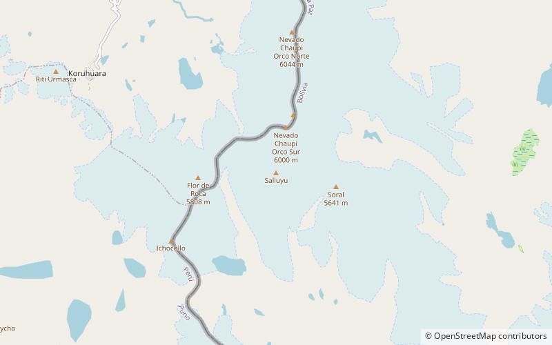
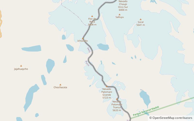
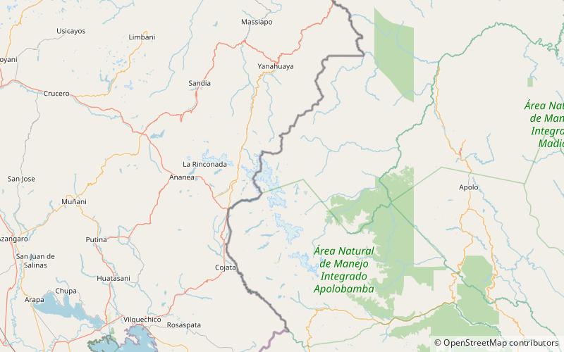
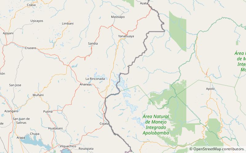
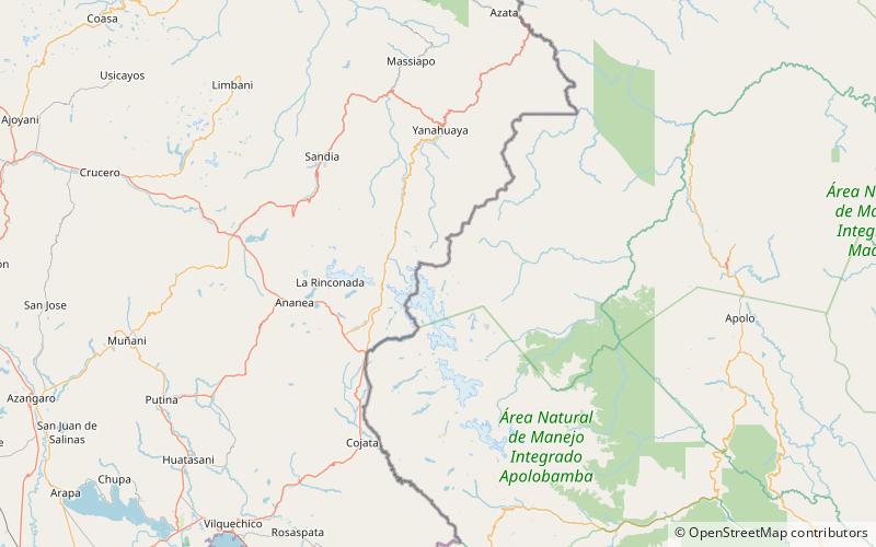
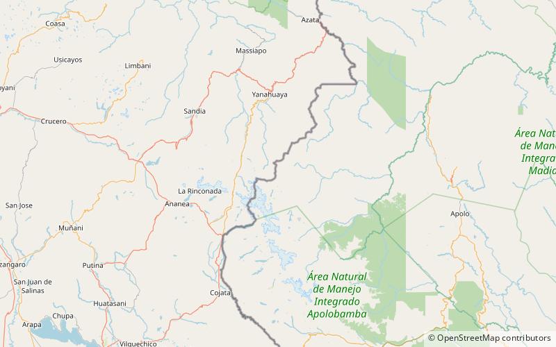
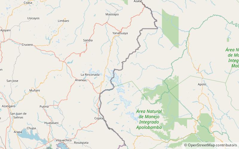
Q'umir Pata is a mountain in the north of the Apolobamba mountain range in Bolivia, about 4,720 metres high. It is located in the La Paz Department, Franz Tamayo Province, Pelechuco Municipality, near the Peruvian border. Q'umir Pata lies southeast of the mountains Surapata and Kulli Pata and south of Chawpi Urqu. ()
Elevation: 15486 ftCoordinates: 14°37'46"S, 69°10'34"W
Address
Madidi National Park
ContactAdd
Social media
Add
Day trips
Q'umir Pata – popular in the area (distance from the attraction)
Nearby attractions include: Surapata, Salluyu, Ichocollo, Allqamarini.
