Potosí mountain range
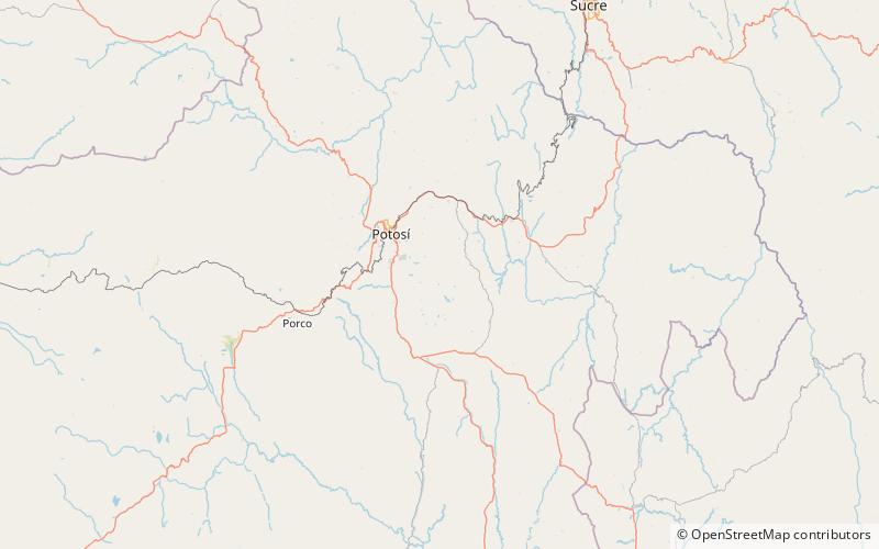
Map

Map

Facts and practical information
The Potosí mountain range in Bolivia is situated east and southeast of the city of Potosí. It is at least 25 km long stretching from north to south. Its highest mountain is Khunurana rising up to 5,071 m. The features of the range are considered the product of volcanic activity known as the Khari Khari caldera. The caldera is about 40 km long and 25 km at its widest point. ()
Maximum elevation: 16637 ftCoordinates: 19°40'60"S, 65°37'60"W
Location
Potosí
ContactAdd
Social media
Add
Day trips
Potosí mountain range – popular in the area (distance from the attraction)
Nearby attractions include: Kari-Kari, Ch'aki Qucha.


