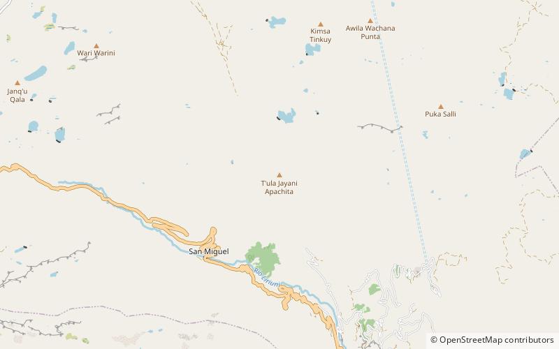
Kimsa Tinkuy, Tunari National Park
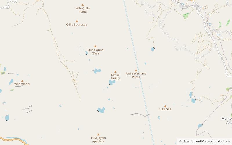
Map
Facts and practical information
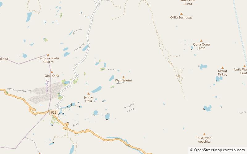
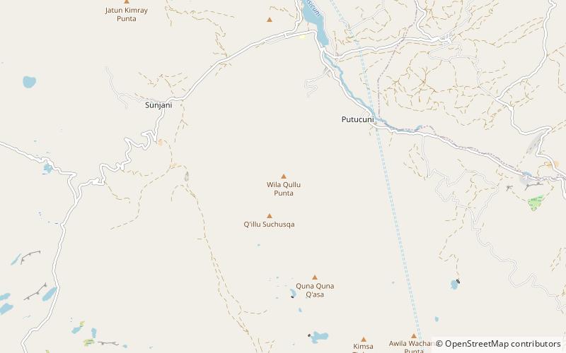
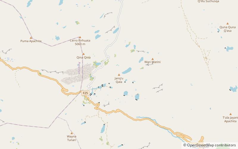
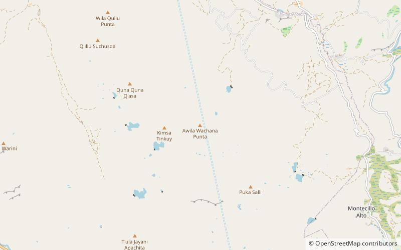
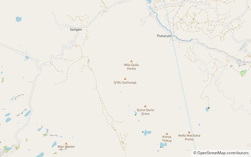
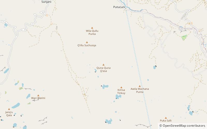
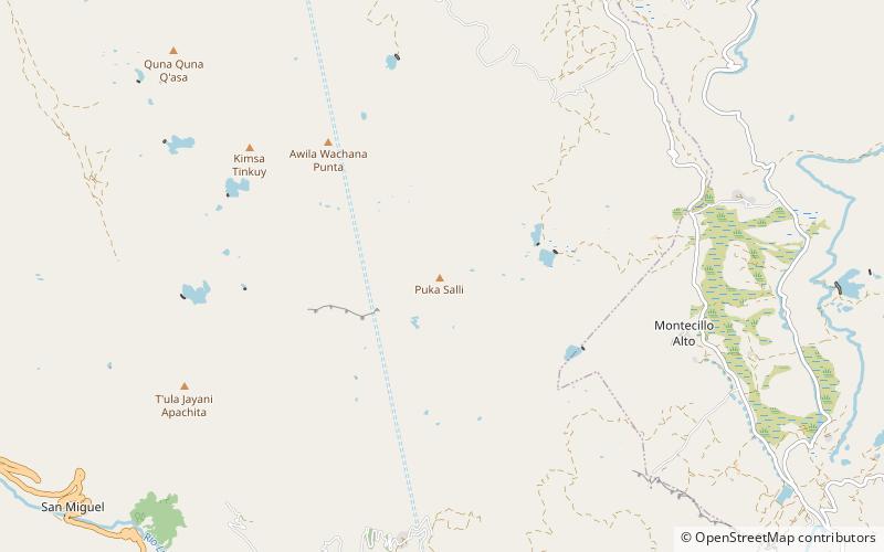
Kimsa Tinkuy is a mountain in the Bolivian Andes which reaches a height of approximately 4,720 m. It is located in the Cochabamba Department, Quillacollo Province, Quillacollo Municipality. Kimsa Tinkuy lies northwest to west of Awila Wachana Punta and southeast of Quna Quna Q'asa. ()
Elevation: 15486 ftCoordinates: 17°13'14"S, 66°18'7"W
Address
Tunari National Park
ContactAdd
Social media
Add
Day trips
Kimsa Tinkuy – popular in the area (distance from the attraction)
Nearby attractions include: Wari Warini, Wila Qullu Punta, Janq'u Qala, Awila Wachana Punta.
