Puka Qawiña
Map
Facts and practical information
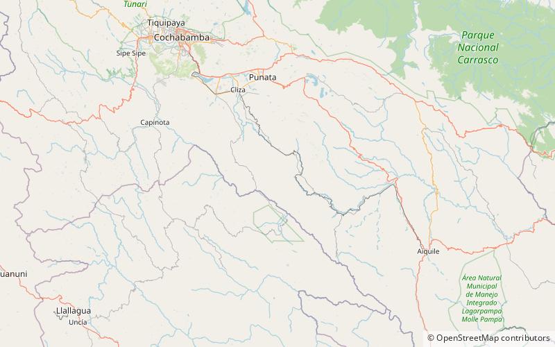
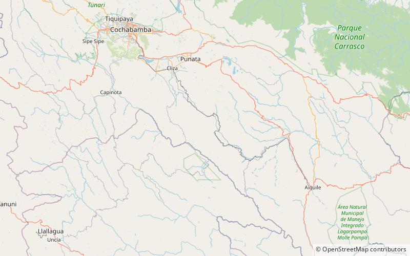
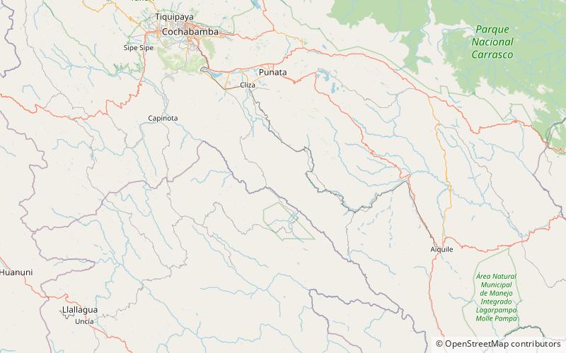
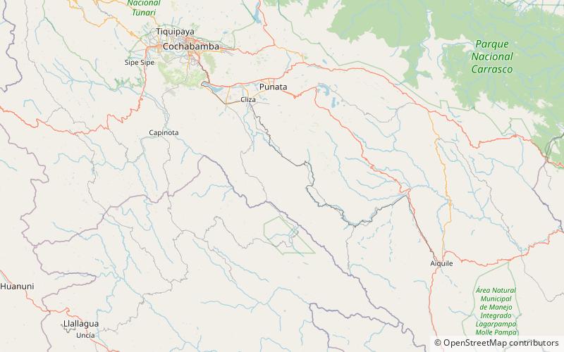
Puka Qawiña is a 3,512-metre-high mountain in the Bolivian Andes. It is located in the Cochabamba Department, at the border of the Esteban Arce Province, Anzaldo Municipality, and the Mizque Province, Vila Vila Municipality. Puka Qawiña lies southeast of Tikrasqa, east of the village of Puka Pampa. ()
Elevation: 11522 ftCoordinates: 17°52'36"S, 65°48'8"W
Location
Cochabamba
ContactAdd
Social media
Add
Day trips
Puka Qawiña – popular in the area (distance from the attraction)
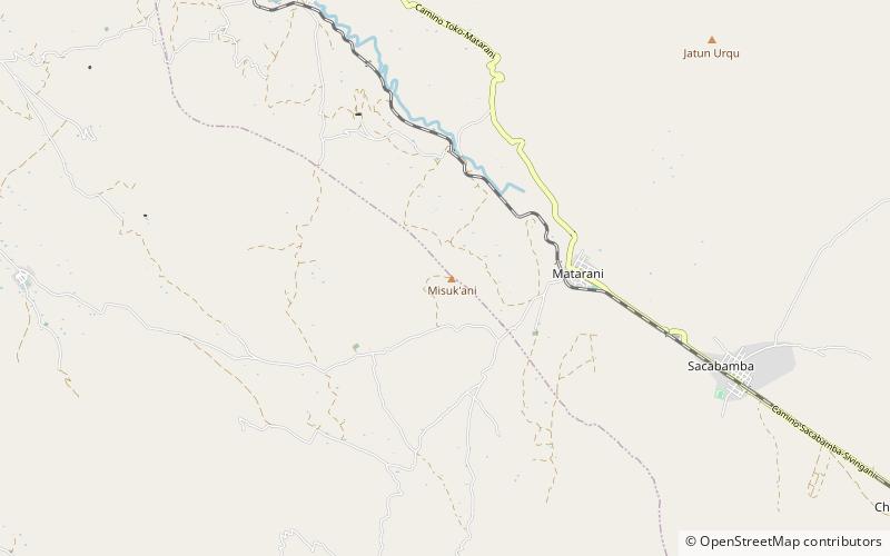
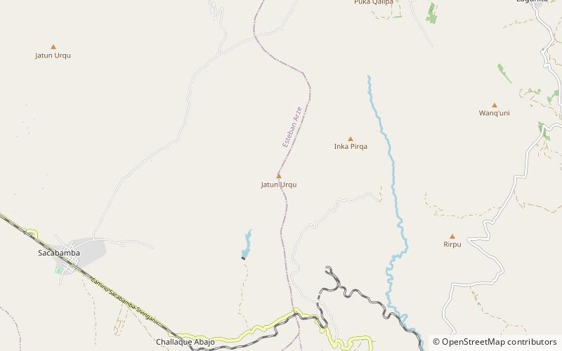
Nearby attractions include: Misuk'ani, Jatun Urqu, Jatun Urqu, Iskay Ch'utu.
