Ch'uñu Pata

Map
Facts and practical information
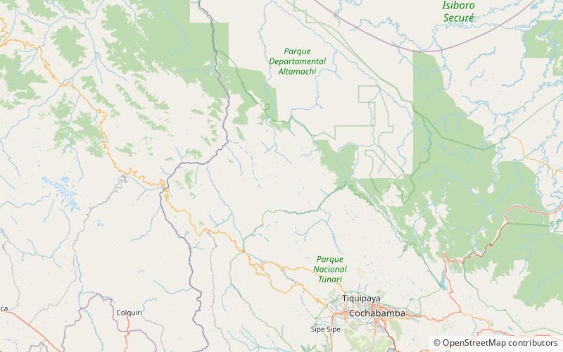
Ch'uñu Pata is a mountain in the Bolivian Andes which reaches a height of approximately 4,560 m. It is located in the Cochabamba Department, Ayopaya Province, Cocapata Municipality. Ch'uñu Pata lies east of the Sinturani Lake. ()
Elevation: 14961 ftCoordinates: 16°52'60"S, 66°31'45"W
Location
Cochabamba
ContactAdd
Social media
Add
Day trips
Ch'uñu Pata – popular in the area (distance from the attraction)
Nearby attractions include: Llamayuq Q'asa.
