Playa Isla de la Luna, Copacabana
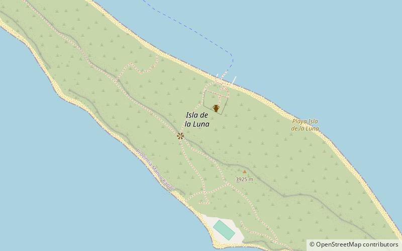
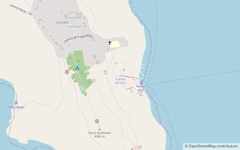
Map
Facts and practical information
Playa Isla de la Luna is a place located in Copacabana (La Paz department) and belongs to the category of beach, island, park.
It is situated at an altitude of 12766 feet, and its geographical coordinates are 16°2'22"S latitude and 69°4'19"W longitude.
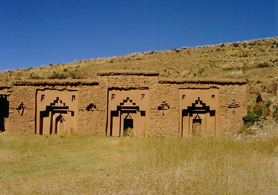
Among other places and attractions worth visiting in the area are: Iñaq Uyu, Isla de la Luna (archaeological site, 3 min walk), Escalinata del Inca, Isla del Sol (nature, 125 min walk).
Elevation: 12766 ft a.s.l.Coordinates: 16°2'22"S, 69°4'19"W
Address
Copacabana
ContactAdd
Social media
Add
Day trips