Wanakuni
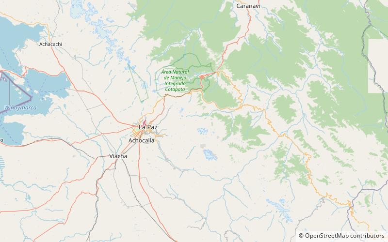
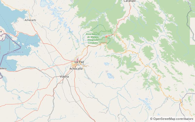
Map
Facts and practical information
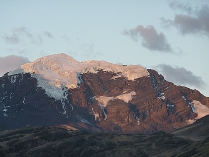
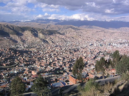
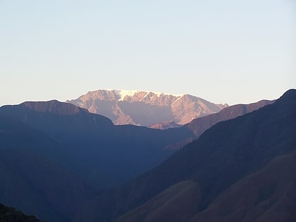
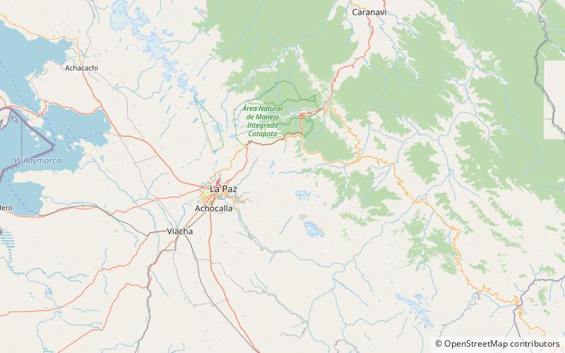
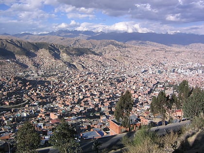
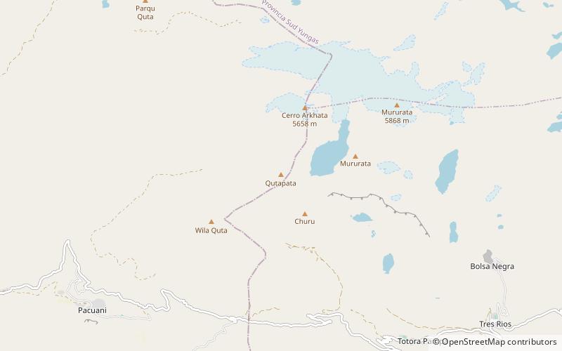
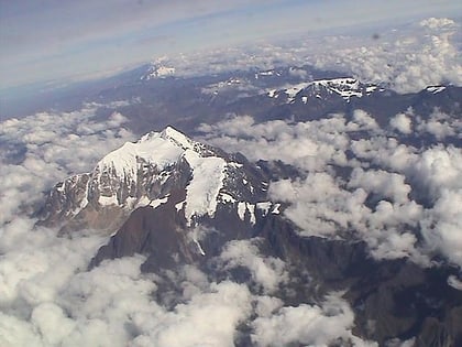
Wanakuni is a 4,944-metre-high mountain in the Cordillera Real in the Bolivian Andes. It is situated in the La Paz Department, Sud Yungas Province, Yanacachi Municipality, northeast of the city of La Paz. Wanakuni lies at a lake named Warawarani, southeast of Sura Qullu. ()
Elevation: 16220 ftCoordinates: 16°27'47"S, 67°52'20"W
Location
La Paz
ContactAdd
Social media
Add
Day trips
Wanakuni – popular in the area (distance from the attraction)
Nearby attractions include: Ch'uxña Quta, Sirk'i Qullu, Jathi Qullu, Mururata.
