Kuntur Nasa
Map

Map

Facts and practical information
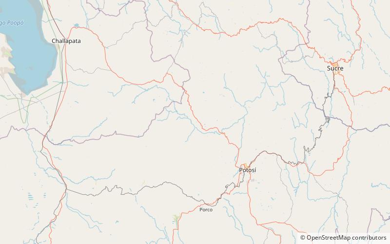
Kuntur Nasa is a mountain in the Andes in Bolivia, about 3.800 m high. It is located in the Cordillera de los Frailes in the Potosí Department, Tomás Frías Province, Yocalla Municipality, Kuntur Nasa lies south west of the higher Pari Chata at the river Pillku Mayu. ()
Elevation: 12467 ftCoordinates: 19°19'60"S, 66°3'0"W
Location
Potosí
ContactAdd
Social media
Add
Day trips
Kuntur Nasa – popular in the area (distance from the attraction)
Nearby attractions include: Pari Chata.

