Faro de Conchupata, Oruro
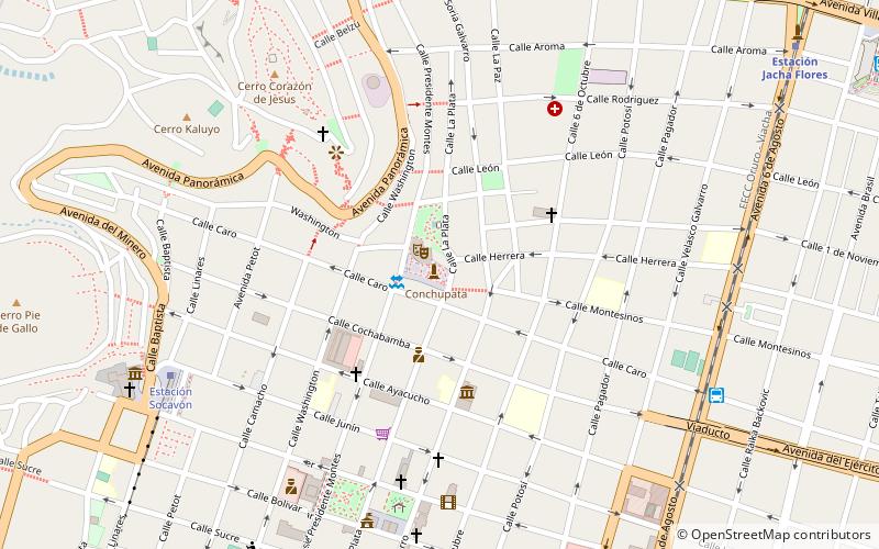
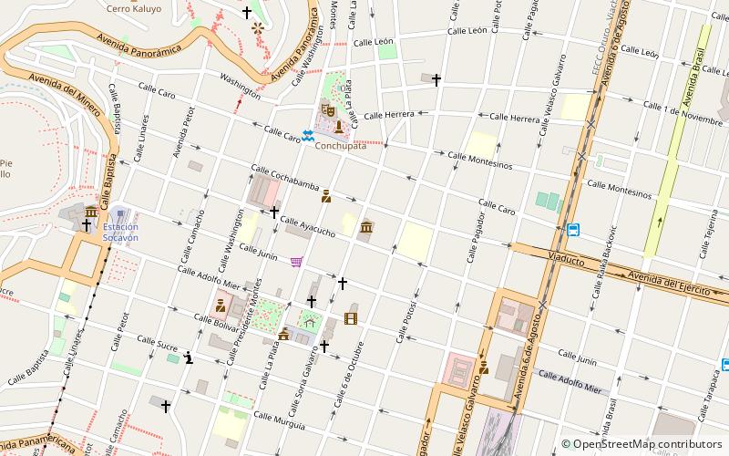
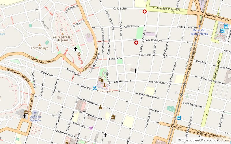
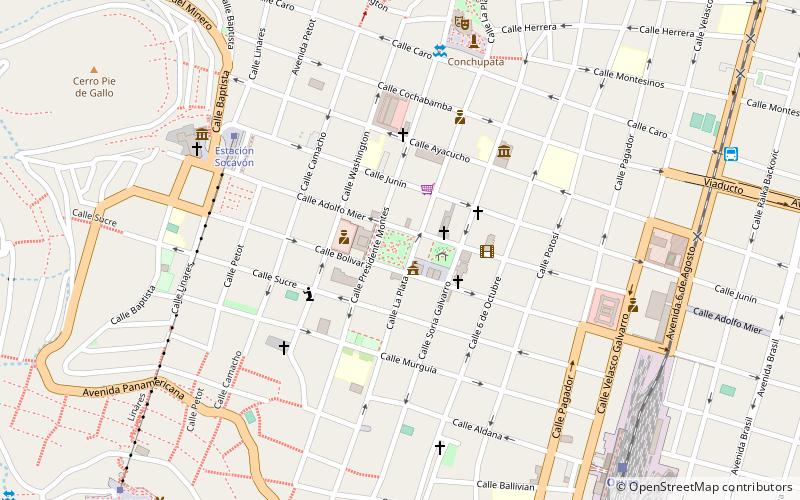
Map
Facts and practical information
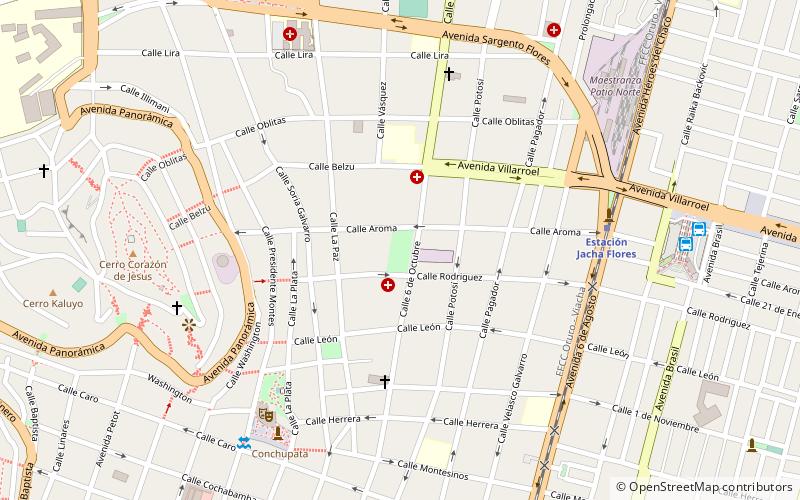
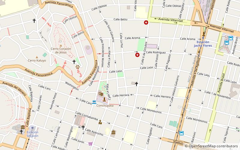
Faro de Conchupata is a place located in Oruro (Oruro department) and belongs to the category of memorial, view point.
It is situated at an altitude of 12247 feet, and its geographical coordinates are 17°57'55"S latitude and 67°6'46"W longitude.
Among other places and attractions worth visiting in the area are: Museo Templo de San Miguel (museum, 3 min walk), Parque de la Ranchería (park, 4 min walk), Museo Simón I. Patiño (museum, 4 min walk).
Coordinates: 17°57'55"S, 67°6'46"W
Day trips
Frequently Asked Questions (FAQ)
Which popular attractions are close to Faro de Conchupata?
Nearby attractions include Museo Templo de San Miguel, Oruro (3 min walk), Parque de la Ranchería, Oruro (4 min walk), Museo Simón I. Patiño, Oruro (4 min walk), Parque de la Uníon, Oruro (8 min walk).