Patilla Pata
Map
Map

Facts and practical information
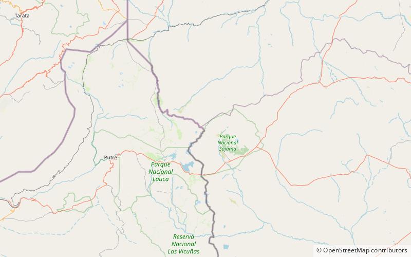
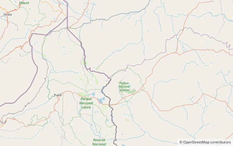
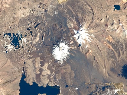
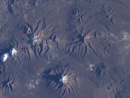
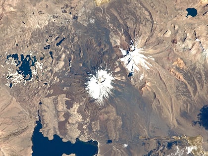
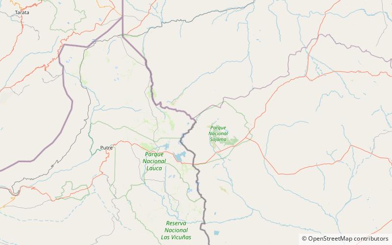
Patilla Pata is a stratovolcano in the Oruro Department in Bolivia. It is situated in the Sajama Province, in the west of the Curahuara de Carangas Municipality, at the border with Chile. Patilla Pata lies south-west of the mountain Jisk'a Kunturiri, north-east of the lake Q'asiri Quta and the mountain Qullqi Warani, west of the little lake Sura Pata, south-east of the mountains Laram Q'awa, Kunturiri and Milluni and south of the little lake named Ch'iyar Quta. ()
Location
Oruro
ContactAdd
Social media
Add
Day trips
Patilla Pata – popular in the area (distance from the attraction)
Nearby attractions include: Ch'iyar Quta, Jach'a Kunturiri, Phaq'u Q'awa, Jisk'a Kunturiri.

