Chilla-Kimsa Chata mountain range
Map
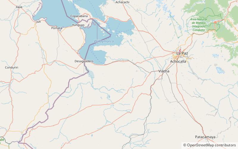
Map

Facts and practical information
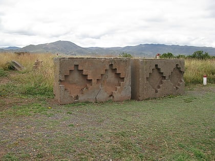
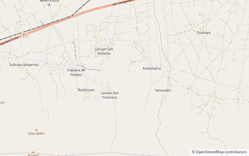
The Chilla-Kimsa Chata mountain range is situated in Bolivia south east of Wiñaymarka Lake, the southern part of Lake Titicaca, in the La Paz Department, Ingavi Province. The range is named after one of highest mountains, the Kimsa Chata complex rising up to 4,735 metres about 15 km south of Tiwanaku. ()
Maximum elevation: 15830 ftCoordinates: 16°40'60"S, 68°43'0"W
Location
La Paz
ContactAdd
Social media
Add
Day trips
Chilla-Kimsa Chata mountain range – popular in the area (distance from the attraction)
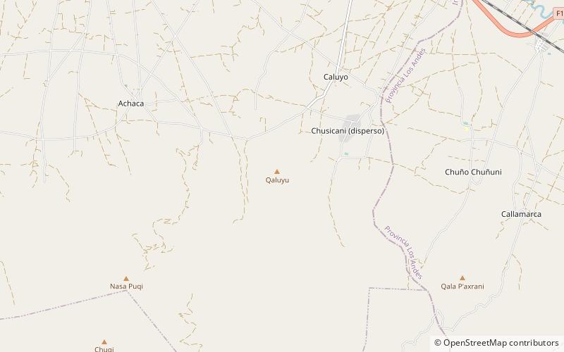
Nearby attractions include: Kimsa Chata, Pukara, Qaluyu.
