Uru Uru Lake
Map

Map

Facts and practical information
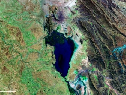
Uru Uru Lake is a lake in the Oruro Department in Bolivia. It is fed by the Desaguadero River and the Jach'a Jawira. It is situated at an elevation of 3,686 m, its surface area is 214 km2. ()
Local name: Lago Uru Uru Area: 100.39 mi²Maximum depth: 5 ftElevation: 12159 ft a.s.l.Coordinates: 18°5'19"S, 67°6'8"W
Location
Oruro
ContactAdd
Social media
Add
