Municipal de Santa Cruz de la Sierra Botanical Garden, Santa Cruz
Map

Map

Facts and practical information
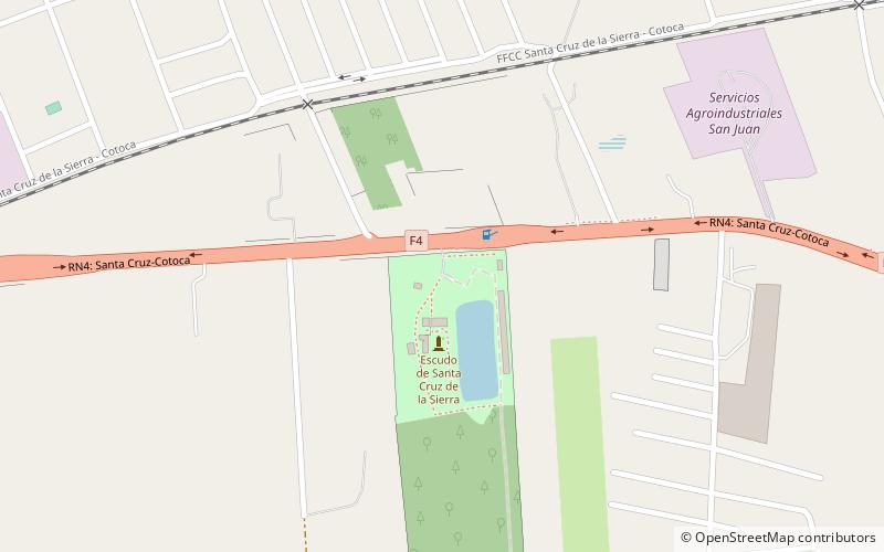
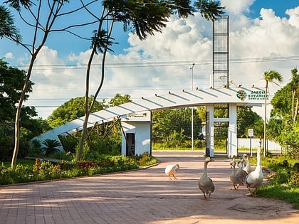
Municipal de Santa Cruz de la Sierra Botanical Garden is a place located in Santa Cruz (Santa Cruz department) and belongs to the category of sightseeing.
It is situated at an altitude of 1280 feet, and its geographical coordinates are 17°45'54"S latitude and 63°4'13"W longitude.
Area: 71.81 mi²Coordinates: 17°45'54"S, 63°4'13"W
Address
GuapiloSanta Cruz
ContactAdd
Social media
Add
