Banj Brdo, Banja Luka
Map
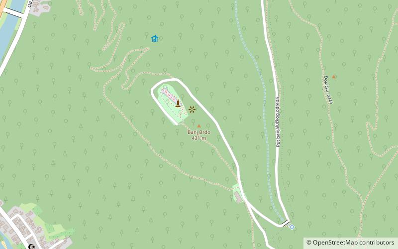
Map

Facts and practical information
Banj Brdo is a place located in Banja Luka (Repuplika Srpska entity) and belongs to the category of nature, mountain.
It is situated at an altitude of 1362 feet, and its geographical coordinates are 44°44'36"N latitude and 17°9'50"E longitude.
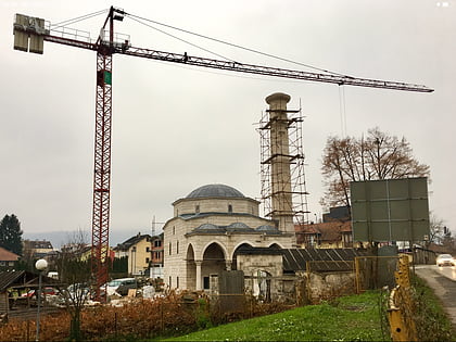
Among other places and attractions worth visiting in the area are: Banja Luka Stock Exchange (stock exchange, 48 min walk), Ferhadija (mosque, 52 min walk), Arnaudija Mosque (mosque, 53 min walk).
Coordinates: 44°44'36"N, 17°9'50"E
Day trips
Banj Brdo – popular in the area (distance from the attraction)
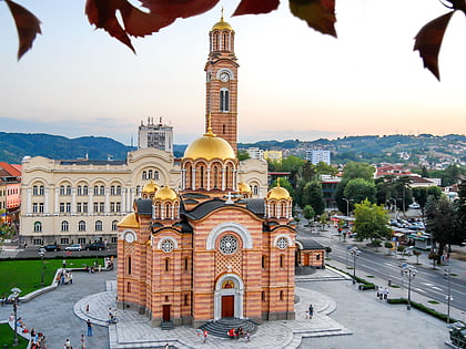
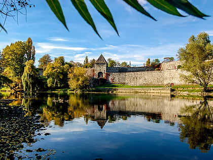
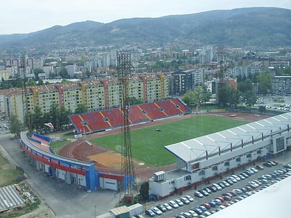
Nearby attractions include: Banski Dvor, Cathedral of Christ the Saviour, Kastel, Banja Luka City Stadium.

