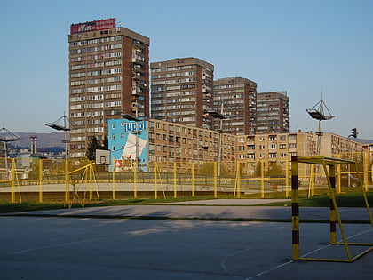
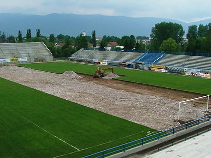
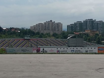
Istiklal Mosque, Sarajevo
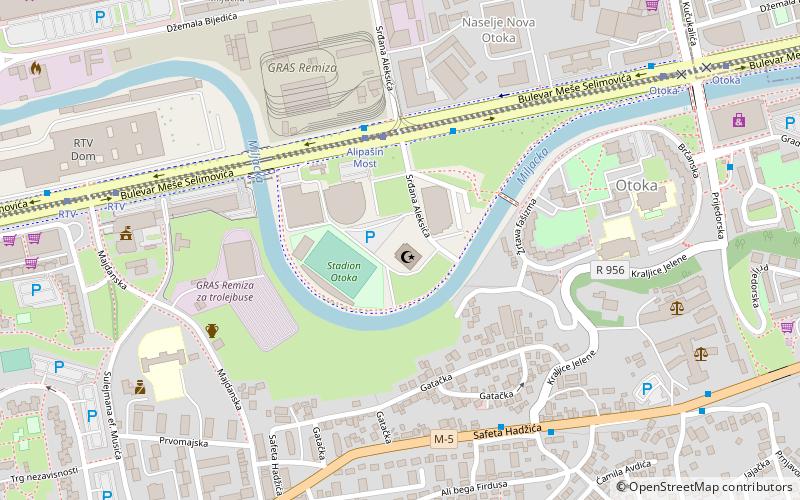
Map
Map

Facts and practical information
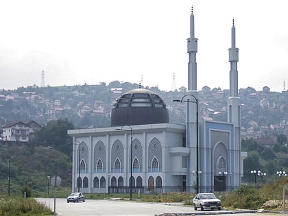
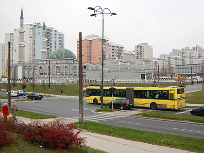
Istiqlal Mosque is one of the largest mosques in Sarajevo, Bosnia and Herzegovina. It was named after Istiqlal Mosque, Jakarta, the national mosque of Indonesia, since the mosque was a gift from the Indonesian people and government for Bosnia and Herzegovina as a token of solidarity and friendship between the two nations. The name "istiqlal" is Arabic word for "independence", thus it is also meant to commemorate the independence of Bosnia and Herzegovina. ()
Local name: Istiklal džamijaEstablished: 2001 (25 years ago)Architectural style: PostmodernismMinaret height: 157 ftCoordinates: 43°50'47"N, 18°21'38"E
Address
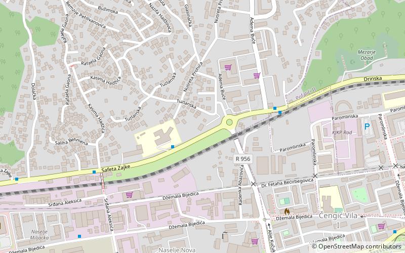
Novi Grad (Otoka)Sarajevo
ContactAdd
Social media
Add
Day trips
Istiklal Mosque – popular in the area (distance from the attraction)
Nearby attractions include: King Fahd Mosque, Bosmal City Center, Baitus Salam Mosque, Alipašino polje.
Frequently Asked Questions (FAQ)
Which popular attractions are close to Istiklal Mosque?
Nearby attractions include Otoka, Sarajevo (7 min walk), Baitus Salam Mosque, Sarajevo (14 min walk), Čengić vila, Sarajevo (14 min walk), Bosmal City Center, Sarajevo (18 min walk).
How to get to Istiklal Mosque by public transport?
The nearest stations to Istiklal Mosque:
Tram
Bus
Trolleybus
Train
Tram
- Alipašin Most • Lines: 3, 4, 5, 6 (4 min walk)
- Rtv • Lines: 3, 4, 5, 6 (9 min walk)
Bus
- Alipašin Most • Lines: Bus (4 min walk)
- Rtv • Lines: Bus (10 min walk)
Trolleybus
- Otoka • Lines: 101, 102, 108 (10 min walk)
- Alipašino Polje • Lines: 104 (18 min walk)
Train
- Alipašin most (21 min walk)
