Bileća Lake
Map

Map

Facts and practical information
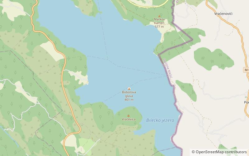
Bileća Lake is an artificial lake located in the municipality of Bileća, in the entity of Republika Srpska, Bosnia and Herzegovina, its length forming part of the Montenegrin border thus a small part being within Montenegro. The manmade lake was created by building the Grančarevo Dam an arch dam across the Trebišnjica River, which was built in 1968. It lies in the upper and central part of Trebsinjica valley, 17 km from Trebinje town and is one of the largest lakes in Bosnia and Herzegovina. ()
Local name: Bilećko jezero Length: 11.18 miWidth: 2.49 miMaximum depth: 341 ftElevation: 1257 ft a.s.l.Coordinates: 42°48'59"N, 18°26'22"E
Location
Repuplika Srpska
ContactAdd
Social media
Add
Day trips
Bileća Lake – popular in the area (distance from the attraction)
Nearby attractions include: Dobrićevo Monastery.

