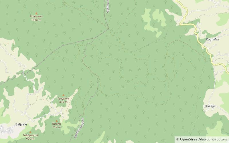
Čemernica
Map

Map

Facts and practical information
Čemernica is a mountain in Central Bosnia, surrounded by the river Vrbas, and its confluences of Ugar and Vrbanja river. The highest peak of Čemernica rises to an altitude of 1,338 meters. It is located south of Banja Luka, in the areas which connect the municipalities of Mrkonjić Grad, Skender Vakuf and Banja Luka. In its foothills are the cities of Kotor Varoš and Skender Vakuf, as well as the settlement of Bočac. Under its northern slopes there is hydroelectric power plant reservoir of "Bočac". ()
Location
Repuplika Srpska
ContactAdd
Social media
Add
Day trips
Čemernica – popular in the area (distance from the attraction)
Nearby attractions include: Ugrić, Bočac Lake.


