Stožer

Map
Facts and practical information
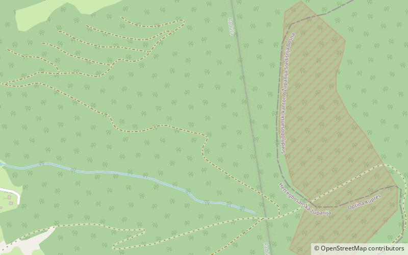
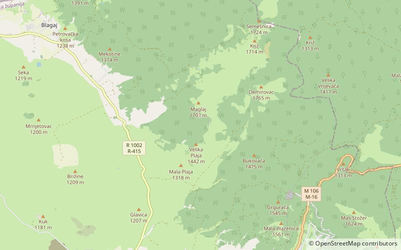
Stožer is a mountain in the municipality of Bugojno, Bosnia and Herzegovina. It has an altitude of 1,758 metres. ()
Coordinates: 43°58'0"N, 17°19'60"E
Location
Federacija Bosna i Hercegovina
ContactAdd
Social media
Add
Day trips
Stožer – popular in the area (distance from the attraction)
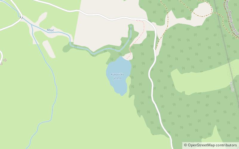
Nearby attractions include: Kukavičko Lake, Plazenica, Kupres.


