Borja Mountain

Gallery (2)
Map
Map
Gallery
Facts and practical information
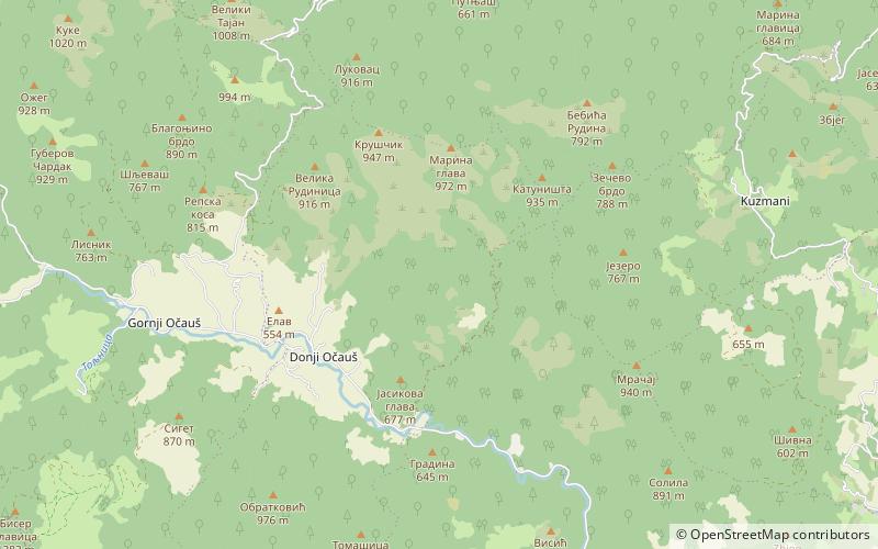
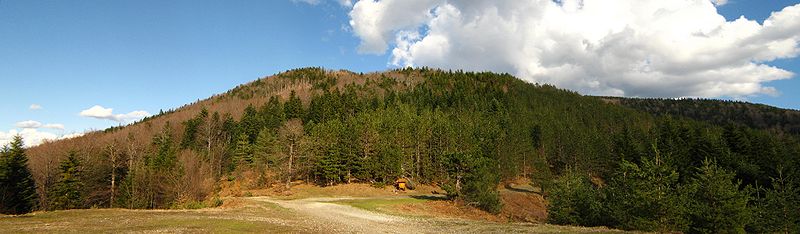
Borja is a mountain in central Bosnia, between Teslić town and Maslovare village. It spreads in the southeast – northwest, and from Uzlomac is divided on saddle Solila, through which passes main road M-4 (Banja Luka – Matuzići – Doboj, which exits on the M-17. The biggest part of this mountain lies in the municipalities of Teslić and Kotor Varoš. ()
Location
Repuplika Srpska
ContactAdd
Social media
Add
Day trips
Borja Mountain – popular in the area (distance from the attraction)
Nearby attractions include: Očauš.
