Perućac lake

Gallery (3)
Map
Map
Gallery
Facts and practical information
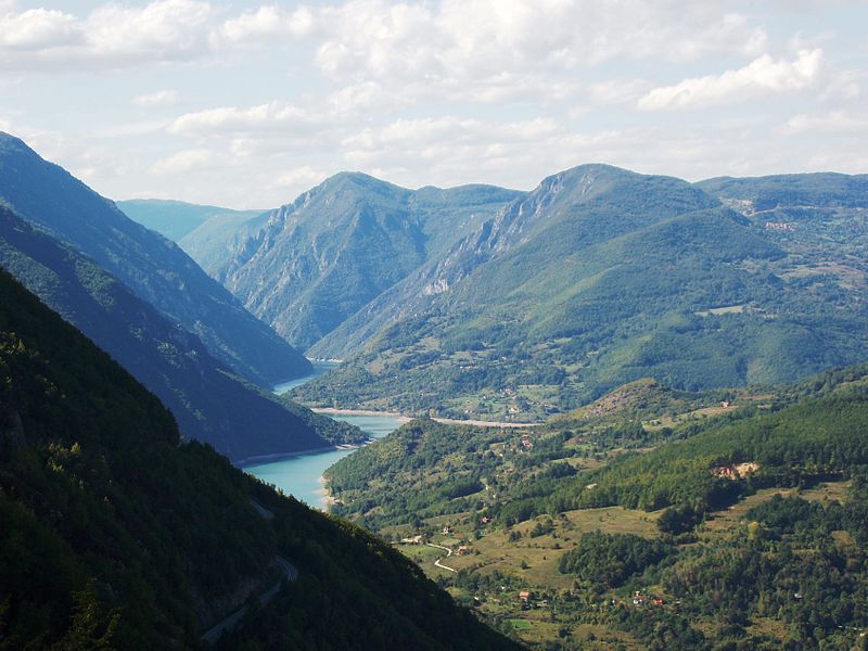
Lake Perućac is an artificial lake on the Drina River, on the border between Bosnia and Herzegovina and Serbia. It was created in 1966 and occupies a natural bend of the river, which encircles the Tara mountain, between towns of Višegrad in Bosnia and Bajina Bašta in Serbia. ()
Local name: Perućac Built: 1961 (65 years ago)Area: 4.79 mi²Length: 36.04 miMaximum depth: 197 ftElevation: 951 ft a.s.l.Coordinates: 43°58'35"N, 19°21'33"E
Location
Repuplika Srpska
ContactAdd
Social media
Add
Day trips
Perućac lake – popular in the area (distance from the attraction)
Nearby attractions include: Zvijezda Mountain.
