Lake Makgadikgadi, Makgadikgadi Pan
Map

Gallery

Facts and practical information
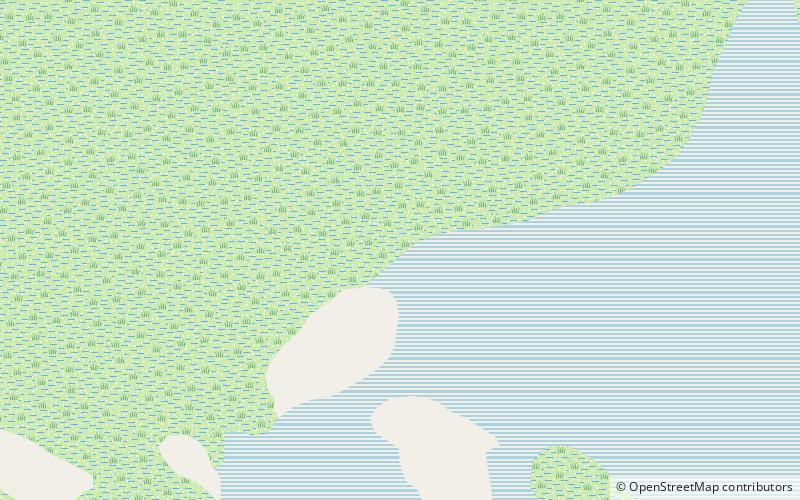
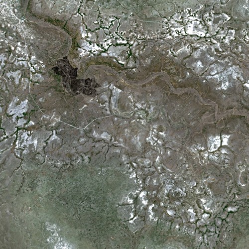
Lake Makgadikgadi was a paleolake that existed in what is now the Kalahari Desert in Botswana from 2,000,000 years BP to 10,000 years BP. It may have once covered an area of from 80,000 to 275,000 km2 and was 30 m deep. The Okavango, Upper Zambezi, and Cuando rivers once all emptied into the lake. Its remains are seen in the Makgadikgadi salt pans, one of the largest salt pans in the world. ()
Address
Makgadikgadi Pan
ContactAdd
Social media
Add
