Morro da Igreja, São Joaquim National Park
Gallery (1)
Map
Map
Facts and practical information
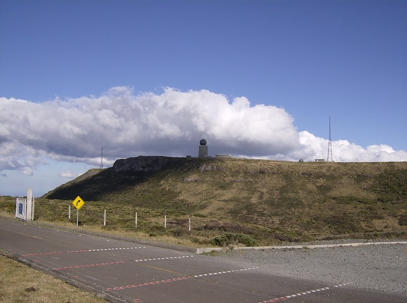
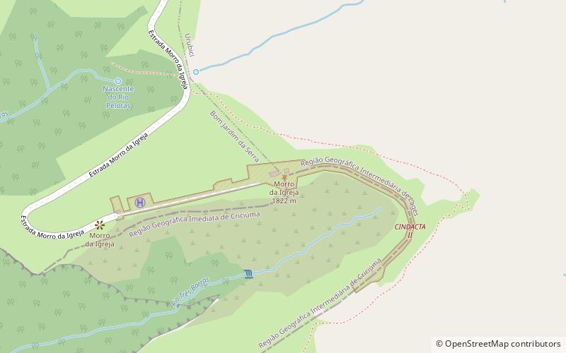
Morro da Igreja is a peak situated in Urubici, a municipality of the Santa Catarina state, in southern Brazil. Its latitude is 28º07'31" S and its longitude is 49º29'38" W, with an elevation of 1,822 metres, the highest inhabited point and the second most elevated of this state. ()
Address
São Joaquim National Park
ContactAdd
Social media
Add
Day trips

