Araguaia National Park
Map
Map

Facts and practical information
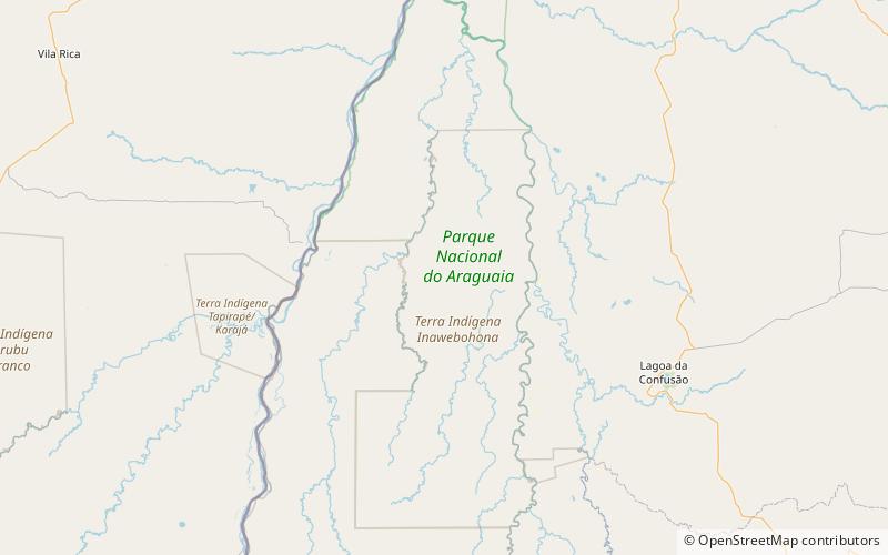
The Araguaia National Park is a national park located in Tocantins state in the north of Brazil, between 09º51’—11º11’S and 49º57’—50º27’W. Bananal Island, on which the park is located, is believed to be the largest inland river island in the world. ()
Local name: Parque Nacional do Araguaia Area: 2144.79 mi²Elevation: 581 ft a.s.l.Coordinates: 10°33'29"S, 50°10'1"W
Location
Tocantins
ContactAdd
Social media
Add
Best Ways to Experience the Park
Wildlife
AnimalsSee what popular animal species you can meet in this location.
More
Show more
