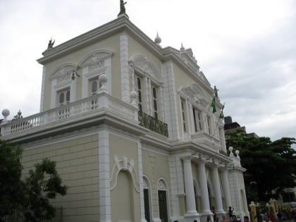
Praça do Ferreira, Fortaleza
Map
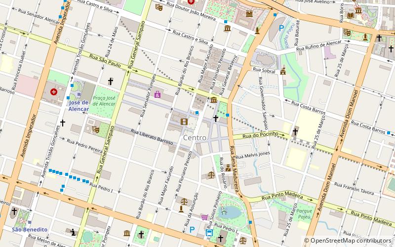
Map

Facts and practical information
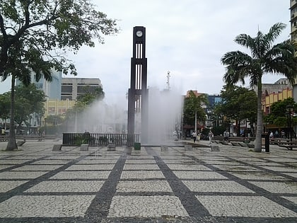
Praça do Ferreira is a square located in the center of the city of Fortaleza, capital of the state of Ceará. It has an area of 7,603 square meters.
Elevation: 108 ft a.s.l.Coordinates: 3°43'39"S, 38°31'38"W
Day trips
Praça do Ferreira – popular in the area (distance from the attraction)
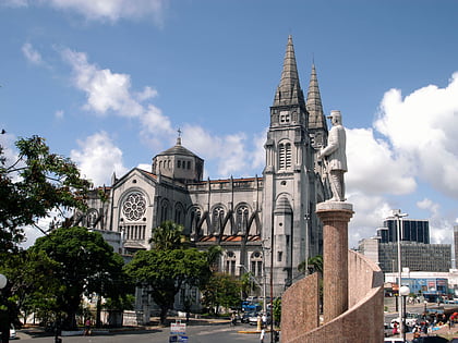
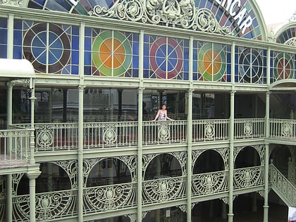
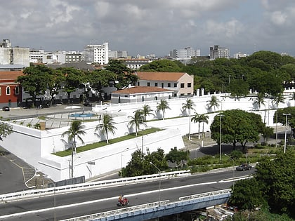
Nearby attractions include: St. Joseph's Cathedral, Theatro José de Alencar, Fortaleza de Nossa Senhora da Assunção, Ponte dos Ingleses.
Frequently Asked Questions (FAQ)
Which popular attractions are close to Praça do Ferreira?
Nearby attractions include Museu do Ceará, Fortaleza (3 min walk), Memorial da Cultura Cearense, Fortaleza (6 min walk), St. Joseph's Cathedral, Fortaleza (8 min walk), Theatro José de Alencar, Fortaleza (8 min walk).
How to get to Praça do Ferreira by public transport?
The nearest stations to Praça do Ferreira:
Bus
Metro
Light rail
Bus
- Terminal Coração de Jesus (9 min walk)
- Terminal São Benedito (19 min walk)
Metro
- José de Alencar • Lines: Sul (10 min walk)
- São Benedito • Lines: Sul (15 min walk)
Light rail
- Tirol - Moura Brasil • Lines: Oeste (23 min walk)
