Chapada dos Guimarães National Park


Facts and practical information
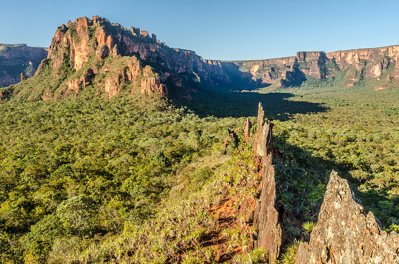
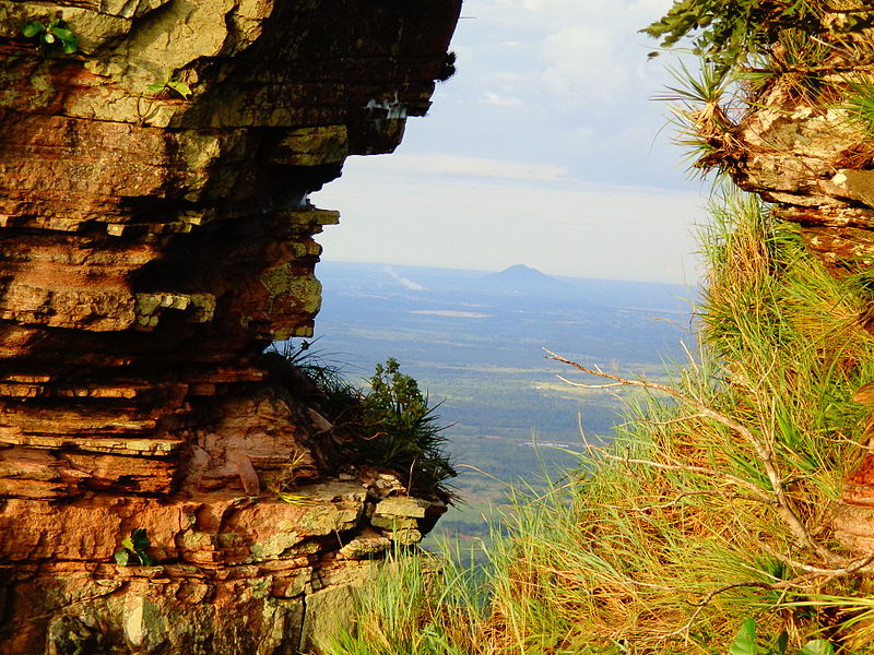
Nestled in the heart of the Mato Grosso region of Brazil, Chapada dos Guimarães National Park is a stunning natural wonderland that offers visitors a unique blend of rugged landscapes, rich biodiversity, and fascinating cultural heritage. The park is known for its dramatic sandstone cliffs, deep canyons, and cascading waterfalls, making it a paradise for outdoor enthusiasts and nature lovers.
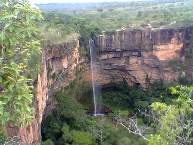
One of the park's most iconic attractions is the Véu de Noiva waterfall, a majestic 86-meter cascade that plunges into a lush canyon below. Visitors can hike along well-marked trails to reach panoramic viewpoints of the waterfall, or take a refreshing dip in the natural pools at its base. The park is also home to an abundance of wildlife, including capuchin monkeys, toucans, and jaguars, making it a prime destination for birdwatching and wildlife spotting.
In addition to its natural beauty, Chapada dos Guimarães National Park also boasts a rich cultural heritage. The park is home to several archaeological sites that provide insight into the region's pre-Columbian history, as well as traditional indigenous communities that continue to preserve their ancestral customs and traditions. Visitors can immerse themselves in the local culture by participating in guided tours led by indigenous guides, or by sampling traditional dishes at local eateries.
Mato Grosso