Centro Cultural Correios, Rio de Janeiro
Map
Map

Facts and practical information
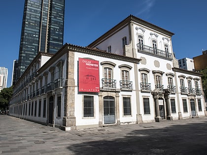
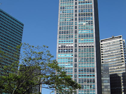
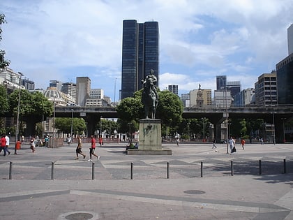
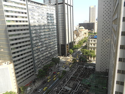
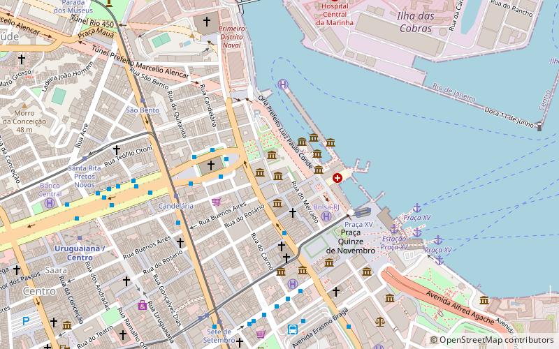
The Centro Cultural Correios Rio de Janeiro is located in downtown Rio de Janeiro, Brazil.
It is installed in a historical building that integrates the Cultural Corridor, and has as neighbors the Casa França-Brasil and the Centro Cultural do Banco do Brasil.
Coordinates: 22°54'4"S, 43°10'33"W
Day trips
Centro Cultural Correios – popular in the area (distance from the attraction)
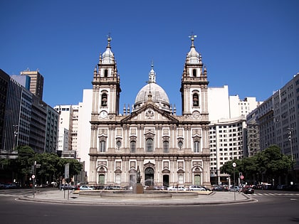
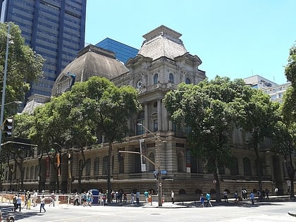
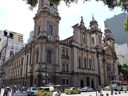
Nearby attractions include: Paço Imperial, Candelária Church, Museu Histórico Nacional, Museu Nacional de Belas Artes.
Frequently Asked Questions (FAQ)
Which popular attractions are close to Centro Cultural Correios?
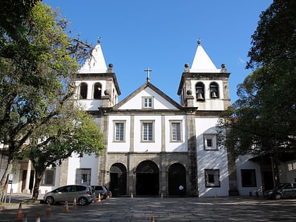
Nearby attractions include Banco do Brasil Cultural Centre, Rio de Janeiro (1 min walk), Casa França Brasil, Rio de Janeiro (1 min walk), Igreja da Santa Cruz dos Militares, Rio de Janeiro (2 min walk), Church of Our Lady of Lapa, Rio de Janeiro (3 min walk).
How to get to Centro Cultural Correios by public transport?
The nearest stations to Centro Cultural Correios:
Light rail
Tram
Ferry
Bus
Metro
Train
Light rail
- Praça XV • Lines: 2 (5 min walk)
- São Bento • Lines: 1 (8 min walk)
Tram
- Praça XV (5 min walk)
- Candelária • Lines: 1, 3, VLT Carioca 3 (6 min walk)
Ferry
- Praça XV • Lines: Charitas - Praça XV, Cocotá - Praça XV, Paquetá - Praça XV, Praça Arariboia - Praça XV, Praça XV - Charitas, Praça XV - Cocotá, Praça XV - Paquetá, Praça XV - Praça Arariboia (9 min walk)
- Ilha Fiscal • Lines: Espaço Cultural da Marinha-Ilha (16 min walk)
Bus
- Terminal Menezes Côrtes (8 min walk)
- Terminal Rodoviário Procópio Ferreira (28 min walk)
Metro
- Uruguaiana • Lines: 1, 2 (11 min walk)
- Carioca • Lines: 1, 2 (12 min walk)
Train
- Central do Brasil (26 min walk)

