Centro Ocidental Rio-Grandense, Santa Maria

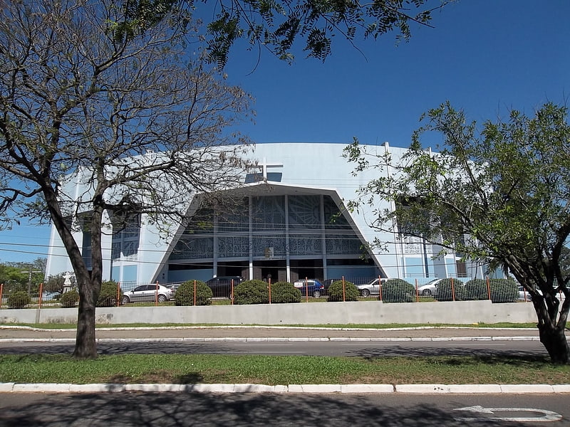
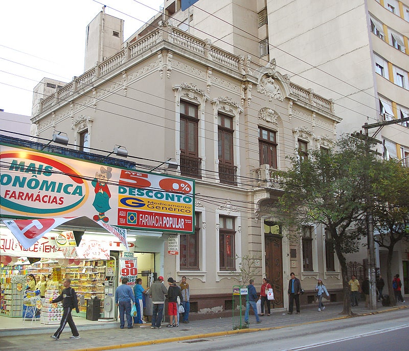
Gallery (1)
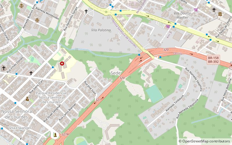
Map
Map
Facts and practical information
The Centro Ocidental Rio-Grandense is one of the seven mesoregions of the state of Rio Grande do Sul in Brazil. It consists of 31 municipalities, grouped in three microregions: ()
Local name: Mesorregião do Centro Ocidental Rio-Grandense Area: 10021.14 mi²Coordinates: 29°41'2"S, 53°48'25"W
Address
Santa Maria
ContactAdd
Social media
Add
Day trips

Frequently Asked Questions (FAQ)
Which popular attractions are close to Centro Ocidental Rio-Grandense?
Nearby attractions include Catedral de Nossa Senhora da Conceição, Santa Maria (3 min walk), Educational Museum Gama D'Eça, Santa Maria (6 min walk).