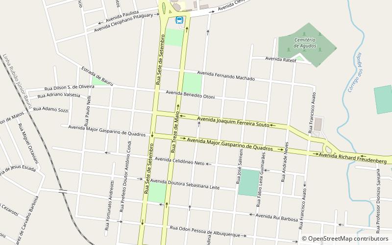
Agudos
Map

Map

Facts and practical information
Agudos is a Brazilian municipality located in the west-central part of the state of São Paulo. The population is 37,401 in an area of 966 km². Distance from the capital is 330 km and is accessed by the Rodovia Marechal Rondon. The municipality was established in 1898, when it was separated from Lençóis. ()
Location
São Paulo
ContactAdd
Social media
Add
