Alfredo Chaves

Gallery (1)
Map
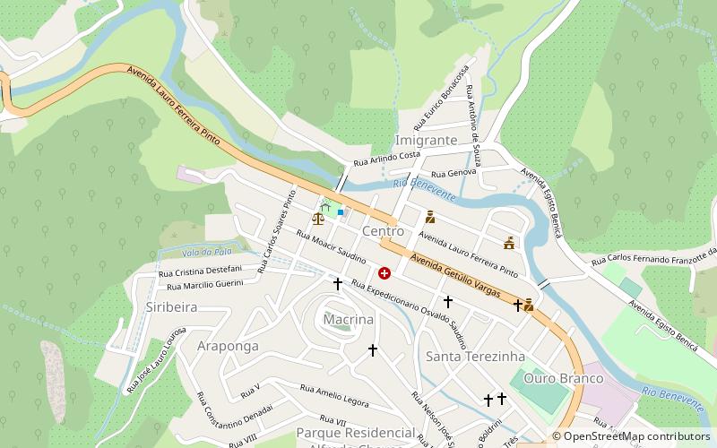
Map
Facts and practical information
Alfredo Chaves is a municipality in the state of Espírito Santo, Brazil. It is 60 km southwest of the state capital, Vitória. Its population was 14,636 and its area is 615.79 km². ()
Alfredo Chaves is a municipality in the state of Espírito Santo, Brazil. It is 60 km southwest of the state capital, Vitória. Its population was 14,636 and its area is 615.79 km². ()
Where to next? Visit ![]() Espírito Santo region page or discover the top tourist attractions in Brazil.
Espírito Santo region page or discover the top tourist attractions in Brazil.