Baixada Maranhense Environmental Protection Area
Facts and practical information
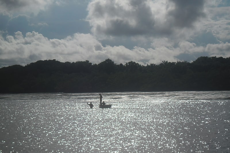
Baixada Maranhense Environmental Protection Area, located in the Maranhão region of Brazil, is a breathtaking natural site that offers visitors a unique and diverse eco-tourism experience. This protected area is home to a rich variety of flora and fauna, including mangroves, lagoons, and an abundance of wildlife.
Visitors to the Baixada Maranhense Environmental Protection Area can explore the stunning landscapes by taking guided tours through the lush vegetation and along the winding waterways. The area is a paradise for birdwatchers, with numerous species of birds to be spotted, including herons, ibises, and kingfishers.
In addition to its natural beauty, the Baixada Maranhense Environmental Protection Area is also a hub for cultural experiences. Visitors can immerse themselves in the local way of life by visiting traditional fishing villages and learning about the customs and traditions of the communities that call this area home.
For those seeking adventure, the Baixada Maranhense Environmental Protection Area offers opportunities for activities such as kayaking, canoeing, and hiking. Exploring the area's waterways by boat is a popular way to get up close to the diverse ecosystem and observe the wildlife that inhabits the region.
Maranhão