
Igrejinha Travel Guide
Facts and practical information
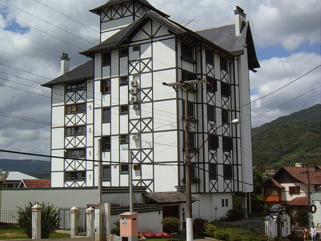
Nestled in the picturesque countryside of the Rio Grande do Sul region in Brazil, the charming town of Igrejinha is a hidden gem waiting to be explored. Known for its strong German influence, Igrejinha offers visitors a unique blend of rich cultural heritage and stunning natural beauty.
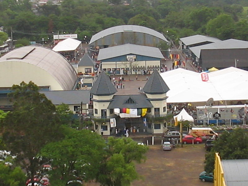
One of the town's highlights is the Oktoberfest, a lively annual festival that celebrates German traditions with music, dancing, and of course, plenty of beer. The colorful parades and traditional costumes create a festive atmosphere that is not to be missed. Visitors can also sample delicious German cuisine, including bratwurst, sauerkraut, and pretzels, while enjoying live music and entertainment.
For those seeking outdoor adventures, Igrejinha is surrounded by rolling hills and lush greenery, making it the perfect destination for hiking, horseback riding, and nature walks. The nearby Salto Ventoso Park boasts a breathtaking waterfall and scenic trails, offering a peaceful retreat for nature enthusiasts.
History buffs will appreciate the town's historic architecture, including the iconic Igreja Matriz São José, a beautiful church that dates back to the 19th century. Its striking design and ornate interior make it a must-see landmark for visitors interested in the town's religious and architectural heritage.
In addition to its cultural and natural attractions, Igrejinha is also known for its warm and welcoming community. Visitors will find friendly locals eager to share their traditions and stories, creating an authentic and immersive travel experience.
Igrejinha Attractions - What to See and Explore
Igrejinha offers many attractions and places to visit. Here are the most important ones: Morro Alto da Pedra. Below you will find a complete list of places worth visiting.

Best Time To Visit Igrejinha
Learn when is the best time to travel to Igrejinha weather-wise and what to expect in each season.