Campinhos State Park

Gallery (1)
Map
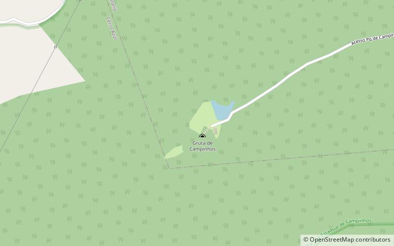
Map
Facts and practical information
The Campinhos State Park is a state park in the state of Paraná, Brazil. The environment has been much degraded by human activity and is in the process of regeneration, but there are areas of the original Araucaria Forest. The main attraction is the 500 metres long Jesuits Cave, with many speleothems such as stalagmites and stalactites. ()
Local name: Parque Estadual de Campinhos Created: 20 July 1960Area: 2.19 mi²Elevation: 2923 ft a.s.l.Coordinates: 25°2'14"S, 49°5'23"W
Location
Paraná
ContactAdd
Social media
Add