Iperó

Map
Facts and practical information
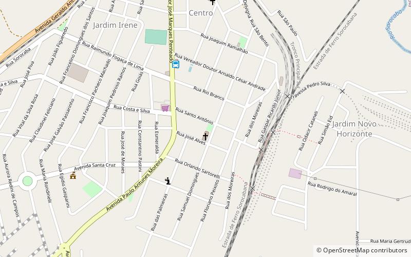
Iperó is a municipality in the state of São Paulo in Brazil. It is part of the Metropolitan Region of Sorocaba. The population is 37,964 in an area of 170.29 km². The elevation is 590 m. The Sorocaba River flows near Iperó. Iperó is accessed with the highway SP-280. ()
Day trips
Iperó – popular in the area (distance from the attraction)
Nearby attractions include: Ipanema Hill, Boituva.

