Mandaguari

Gallery (1)
Map
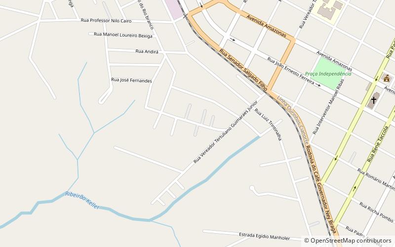
Map
Facts and practical information
Mandaguari is a municipality in the state of Paraná in the Southern Region of Brazil. Before World War II "Mandaguari" was called "Lovat". ()
Location
Paraná
ContactAdd
Social media
Add
Day trips
Mandaguari – popular in the area (distance from the attraction)
Nearby attractions include: Jandaia do Sul.
