Marajó várzea, Marajó Archipelago Environmental Protection Area
Map

Gallery

Facts and practical information
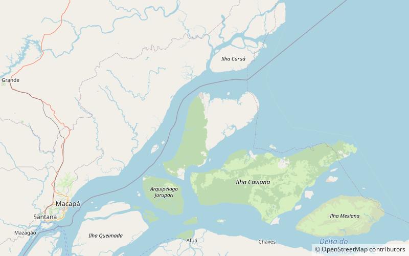
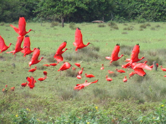
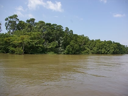
The Marajó várzea is an ecoregion of seasonally and tidally flooded várzea forest in the Amazon biome. It covers a region of sedimentary islands and floodplains at the mouth of the Amazon that is flooded twice daily as the ocean tides push the river waters onto the land. The flooded forests provide food for a wide variety of fruit-eating fish, aquatic mammals, birds and other fauna. It has no protected areas and is threatened by cattle and water-buffalo ranching, logging and fruit plantations. ()
Coordinates: 0°26'38"N, 50°19'23"W
Address
Marajó Archipelago Environmental Protection Area
ContactAdd
Social media
Add
