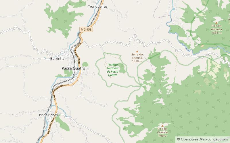
Passa Quatro National Forest

Gallery (1)
Map
Map
Facts and practical information
The Passa Quatro National Forest is a national forest in the state of Minas Gerais, Brazil. It contains an area of Atlantic Forest. ()
Local name: Floresta Nacional de Passa Quatro Created: 25 October 1968Area: 1.29 mi²Elevation: 3632 ft a.s.l.Coordinates: 22°23'29"S, 44°56'30"W
Location
Minas Gerais
ContactAdd
Social media
Add
Day trips


