Pirineus State Park
Map

Map

Facts and practical information
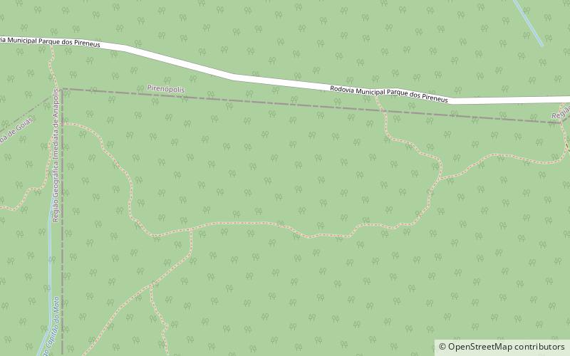
The Pireneus State Park, erroneously spelled "Pirineus", is a state park in the state of Goiás, Brazil. It protects an area of cerrado that includes the highest peak in the region, the 1,385 metres Pico dos Pireneus, on the watershed between the Plata and Tocantins river basins ()
Local name: Parque Estadual dos Pirineus Created: 1987Area: 10.95 mi²Elevation: 4275 ft a.s.l.Coordinates: 15°48'20"S, 48°50'57"W
Location
Goiás
ContactAdd
Social media
Add
