Rio Negro Left Bank Environmental Protection Area

Gallery (1)
Map
Map
Facts and practical information
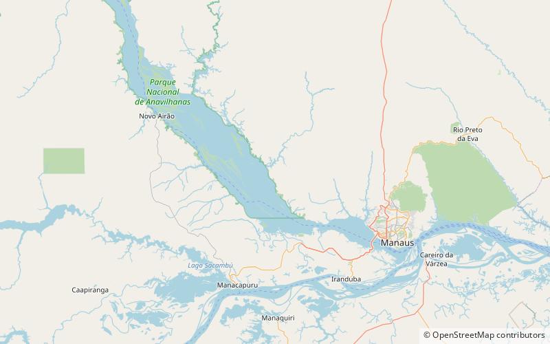
The Rio Negro Left Bank Environmental Protection Area is an environmental protection area in the state of Amazonas, Brazil. It protects an area of Amazon rainforest on the left bank of the Rio Negro near Manaus. There is a small human population, and sustainable use of forest resources is allowed. The southern section, near to Manaus, is subject to pressure from poor residents of an official settlement project who clear forest to make charcoal for sale in the city. ()
Created: 2 April 1995Area: 2194.31 mi²Elevation: 141 ft a.s.l.Coordinates: 2°50'56"S, 60°28'21"W
Location
Amazonas
ContactAdd
Social media
Add