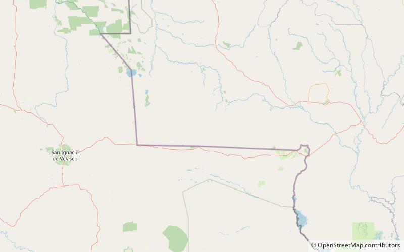
Serra de Santa Bárbara State Park Travel Guide
Facts and practical information
Nestled in the stunning Mato Grosso region of Brazil, Serra de Santa Bárbara State Park is a nature lover's paradise, offering a diverse array of outdoor activities and breathtaking landscapes. The park is known for its lush forests, cascading waterfalls, and impressive rock formations, making it a popular destination for hikers, photographers, and adventure seekers.
One of the park's most iconic features is the Serra de Santa Bárbara mountain range, which offers panoramic views of the surrounding countryside and is a favorite spot for avid hikers and nature enthusiasts. The trails that wind through the park provide opportunities for visitors to explore the diverse ecosystems, encounter unique flora and fauna, and discover hidden gems around every corner.
For those seeking a more leisurely experience, the park's tranquil rivers and streams offer the perfect setting for picnics, birdwatching, and peaceful moments of reflection. The crystal-clear waters are also ideal for swimming and fishing, providing a refreshing escape from the heat of the Brazilian sun.
In addition to its natural beauty, Serra de Santa Bárbara State Park is home to a rich cultural heritage, with ancient rock art and archaeological sites that offer a glimpse into the region's history. Visitors can immerse themselves in the local culture by participating in guided tours, workshops, and cultural events that celebrate the traditions of the indigenous communities that have called the area home for centuries.
Mato Grosso
Serra de Santa Bárbara State Park Attractions - What to See and Explore
Serra de Santa Bárbara State Park offers many attractions and places to visit. Here are the most important ones: Serra Monte Cristo. Below you will find a complete list of places worth visiting.
Best Time To Visit Serra de Santa Bárbara State Park
Learn when is the best time to travel to Serra de Santa Bárbara State Park weather-wise and what to expect in each season.