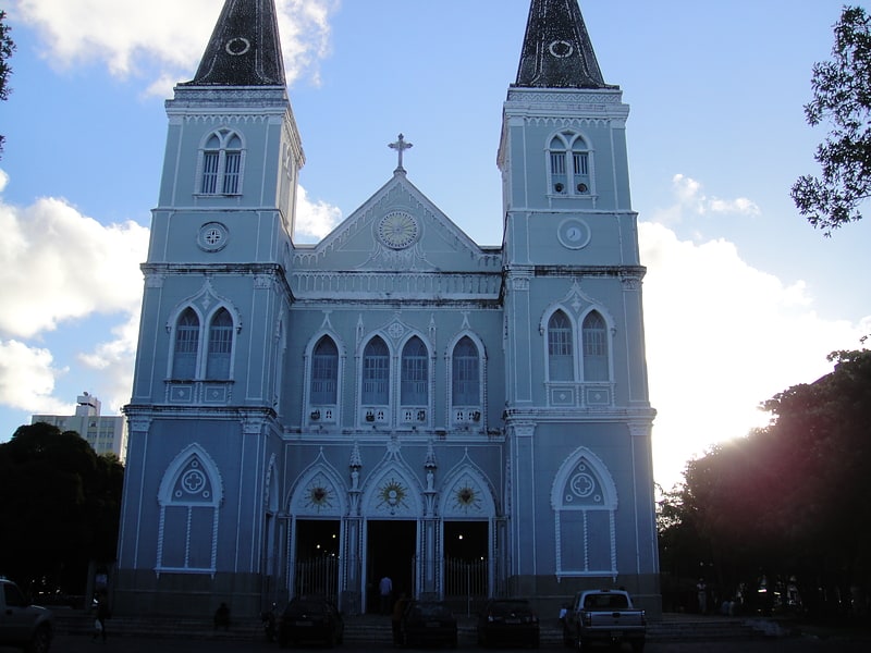
Igreja de Santo Antônio, Aracaju
Facts and practical information
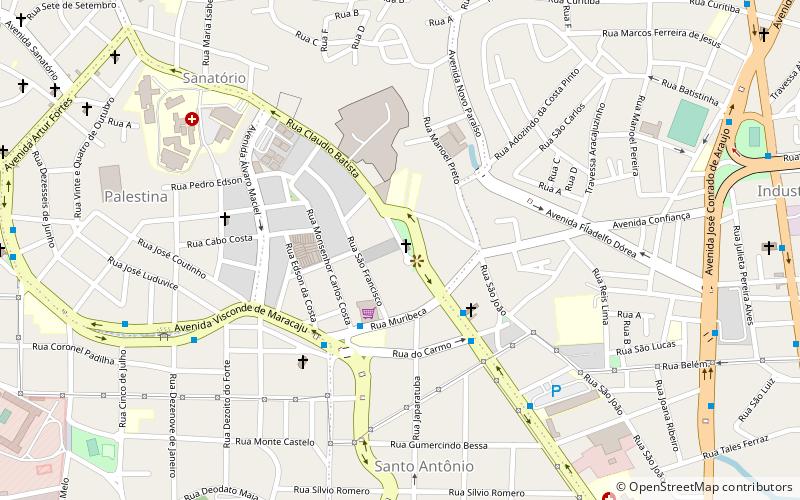
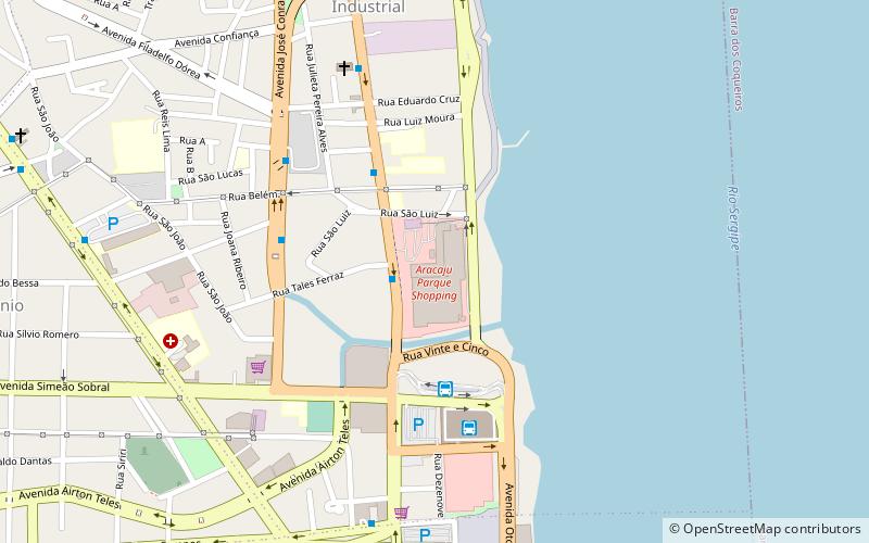
Igreja de Santo Antônio (address: Pça Siqueira de Menezes) is a place located in Aracaju (Sergipe state) and belongs to the category of church.
It is situated at an altitude of 102 feet, and its geographical coordinates are 10°53'49"S latitude and 37°3'33"W longitude.
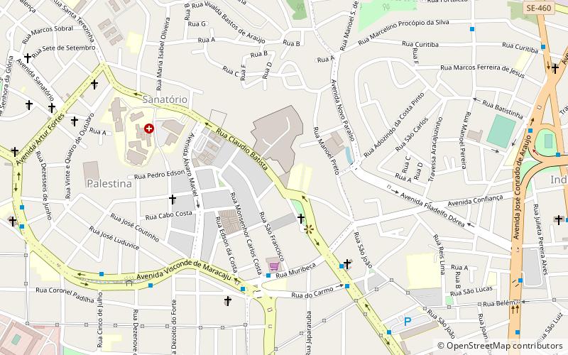
Planning a visit to this place, one can easily and conveniently get there by public transportation. Igreja de Santo Antônio is a short distance from the following public transport stations: Terminal Rodoviário do Mercado Central (bus, 21 min walk), Aracaju (train, 23 min walk).
Among other places and attractions worth visiting in the area are: Sistema Atalaia de Televisão (tower, 3 min walk), Aracaju Parque Shopping (shopping, 19 min walk), Teleférico Aracaju (cable car, 20 min walk).
Pça Siqueira de MenezesAracaju
- Bus
- Train
 Bus
Bus
- Calculate routeTerminal Rodoviário do Mercado Central 21 min walk
- Calculate routeRodoviária Praça João XXIII 24 min walk
- Calculate routeTerminal do Centro 25 min walk
- Calculate routeAracaju 23 min walk

Frequently Asked Questions (FAQ)
Which popular attractions are close to Igreja de Santo Antônio?
How to get to Igreja de Santo Antônio by public transport?
Bus
- Terminal Rodoviário do Mercado Central (21 min walk)
- Rodoviária Praça João XXIII (24 min walk)
Train
- Aracaju (23 min walk)