Penha, São Paulo
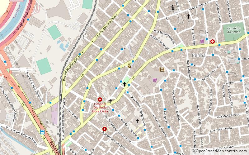
Map

Map

Facts and practical information
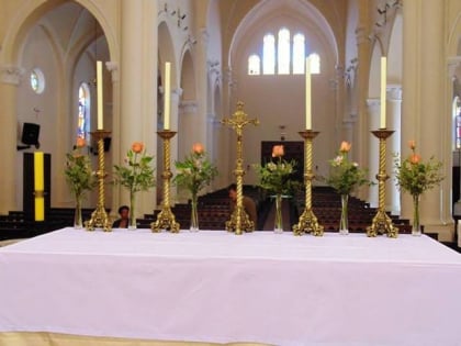
Penha is a district in the subprefecture of Penha of the city of São Paulo, Brazil. It's one of the oldest areas in São Paulo and known because of the church Nossa Senhora da Penha, one of the oldest of the city. ()
Day trips
Penha – popular in the area (distance from the attraction)
Nearby attractions include: Estádio Alfredo Schürig, Shopping Metrô Tatuapé, Shopping Anália Franco, Paróquia Nossa Senhora do Bom Conselho.
Frequently Asked Questions (FAQ)
How to get to Penha by public transport?
The nearest stations to Penha:
Bus
Trolleybus
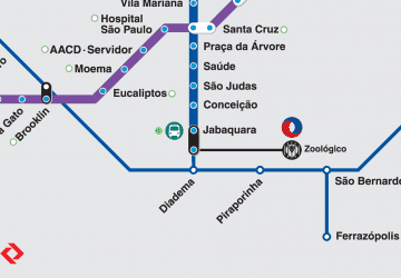
Metro
Bus
- Parada 2 - Praça Oito De Setembro • Lines: 2552-10, 2552-41, 2590-10 (3 min walk)
- Parada Avelino Carneiro • Lines: 2552-10, 2552-41 (4 min walk)
Trolleybus
- Stop • Lines: 342M-10 (9 min walk)
- Rua Cesário Galero, 186 • Lines: 2290-10, 342M-10 (25 min walk)
Metro
- Penha • Lines: 3 (18 min walk)
- Vila Matilde • Lines: 3 (32 min walk)

 Metro / Suburban rail


