Morumbi, São Paulo
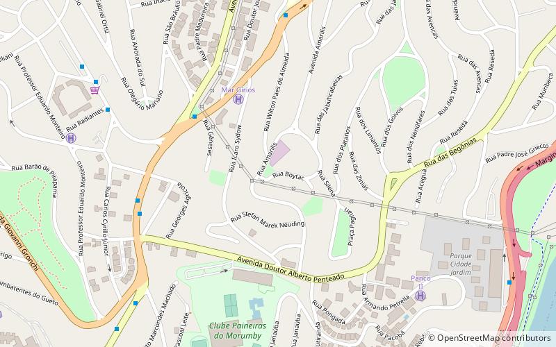
Map
Map

Facts and practical information
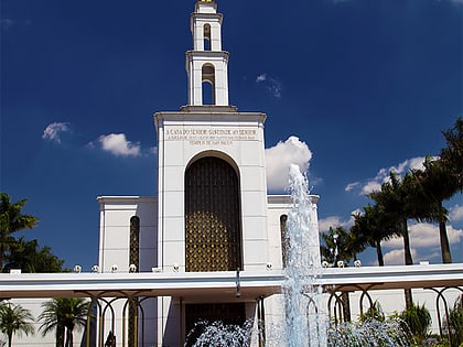
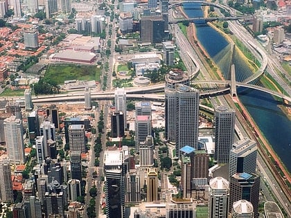
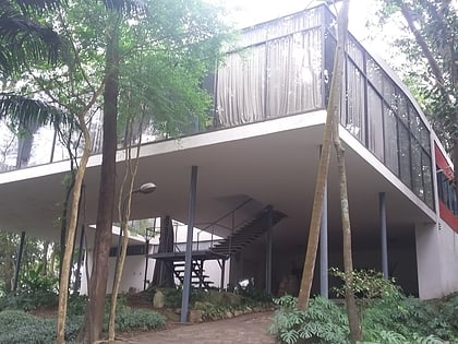
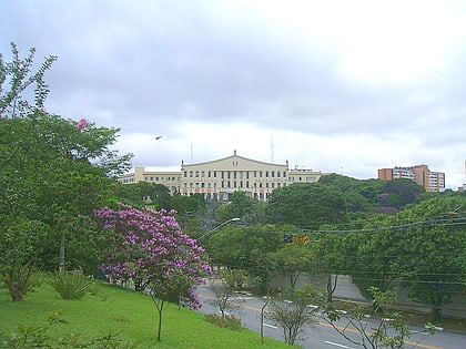
Morumbi is a district of the city of São Paulo belonging to the subprefecture of Butantã, in the southwestern part of the city. A common folk etymology attributes its name to the mixed Portuguese and Tupi phrase morro obi, which would mean "green hill", but this is disputed. ()
Day trips
Morumbi – popular in the area (distance from the attraction)
Nearby attractions include: Estádio do Morumbi, Octávio Frias de Oliveira Bridge, Via Funchal, Daslu.
Frequently Asked Questions (FAQ)
Which popular attractions are close to Morumbi?
Nearby attractions include West Zone of São Paulo, São Paulo (14 min walk), Fundação Maria Luisa e Oscar Americano, São Paulo (18 min walk), Vila Olímpia, São Paulo (22 min walk).
How to get to Morumbi by public transport?
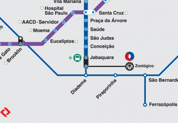
The nearest stations to Morumbi:
Bus
Train
Bus
- Rua Eng. Oscar Americano, 1234 • Lines: 6291-10, 647A-10, 647P-10, 775F-10, 775F-31 (6 min walk)
- Avenida Morumbi, 3574 • Lines: 6291-10, 647A-10, 647P-10, 775F-10, 775F-31, 8020-10, 809J-10 (8 min walk)
Train
- Berrini (20 min walk)
- Vila Olímpia (20 min walk)
 Metro / Suburban rail


