Estrada dos Remédios, Recife

Facts and practical information
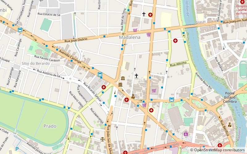
Estrada dos Remédios (address: Rua Cosme Viana) is a place located in Recife (Pernambuco state) and belongs to the category of bridge.
It is situated at an altitude of 26 feet, and its geographical coordinates are 8°4'19"S latitude and 34°54'28"W longitude.
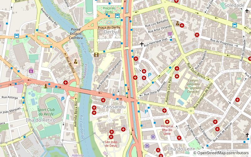
Planning a visit to this place, one can easily and conveniently get there by public transportation. Estrada dos Remédios is a short distance from the following public transport stations: Terminal Integrado Afogados (bus, 10 min walk), Afogados (metro, 10 min walk).
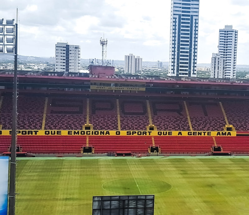
Among other places and attractions worth visiting in the area are: Ponte de Afogados (bridge, 15 min walk), Estádio Ilha do Retiro (outdoor activities, 18 min walk), Teatro Joaquim Cardozo (theater, 24 min walk).
Rua Cosme VianaRPA5 (Afogados)Recife
- Metro
- Bus
 Metro
Metro
- Calculate routeTerminal Integrado Afogados 10 min walk
- Calculate routeTerminal Integrado Largo da Paz 18 min walk
- Calculate routeTerminal Integrado Joana Bezerra 22 min walk
- Calculate routeFórum Rodolfo Aureliano 22 min walk
- Calculate routeAfogados 10 min walk
- Calculate routeIpiranga 14 min walk
- Calculate routeLargo da Paz 18 min walk
- Calculate routeJoana Bezerra 22 min walk
Frequently Asked Questions (FAQ)
Which popular attractions are close to Estrada dos Remédios?
How to get to Estrada dos Remédios by public transport?
Bus
- Terminal Integrado Afogados (10 min walk)
- Terminal Integrado Largo da Paz (18 min walk)
Metro
- Afogados • Lines: 1, 2 (10 min walk)
- Ipiranga • Lines: 1, 2 (14 min walk)