Igreja Nossa Senhora da Penha, Castelo
Map

Map

Facts and practical information
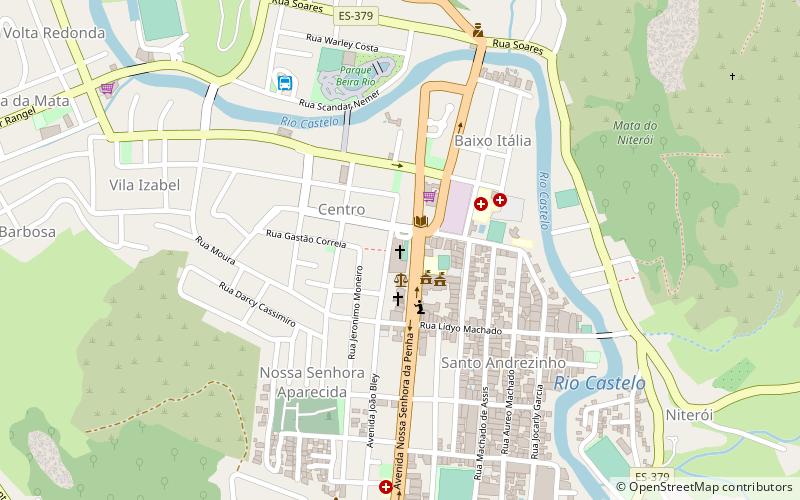
Igreja Nossa Senhora da Penha (address: Av. João Bley, 1) is a place located in Castelo (Espírito Santo state) and belongs to the category of church.
It is situated at an altitude of 374 feet, and its geographical coordinates are 20°36'14"S latitude and 41°12'14"W longitude.
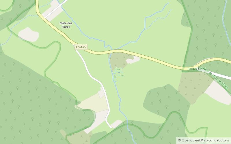
Among other places and attractions worth visiting in the area are: Mata das Flores State Park (park, 43 min walk).
Coordinates: 20°36'14"S, 41°12'14"W
Address
Av. João Bley, 1Castelo 29360-000
Contact
+55 28 3542-1144
Social media
Add
Day trips
Igreja Nossa Senhora da Penha – popular in the area (distance from the attraction)
Nearby attractions include: Mata das Flores State Park.

